
Related Images

Download:
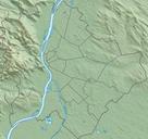
| Tiny | 135x128 | View | Download |
| Small | 271x256 | View | Download |
| Medium | 542x512 | View | Download |
| Original png | 600x566 | View | Download |
| Original as jpg | 600x566 | View | Download |
This image was acquired from
wikimedia. It was marked as Public Domain or CC0 and is free to use. To verify, go to the source and check the information there.
Looking for more info about this image?
Try a Google Reverse Image Search for it.
Try a Google Reverse Image Search for it.
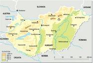
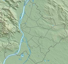
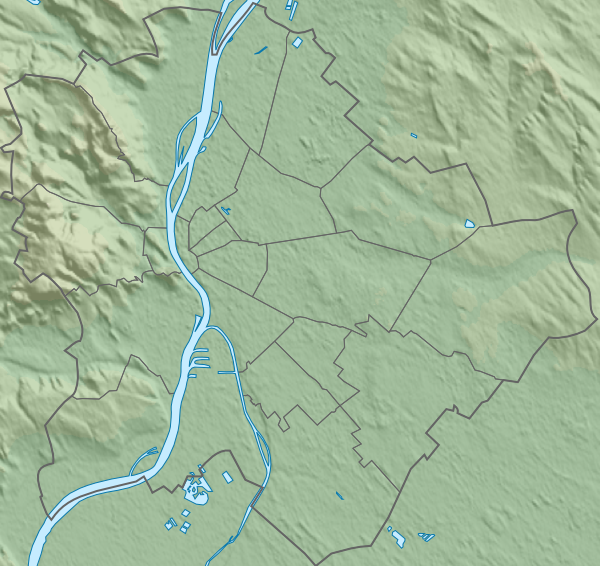
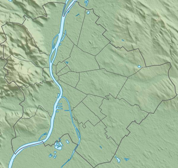
Keywords from Image Description:
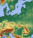
Topographic map of Budapest. Budapest Hungary with detailed borders Budapestdistrictsmap svg Data sources Topography jpl nasa gov NASA Shuttle Radar Topography Mission SRTM public domain Borders and lakes openstreetmap org OpenStreetMap public domain Original positions and size of Budapestdistrictsmap svg by Droo Edited with