
Related Images
Download:
| Tiny | 229x128 | View | Download |
| Small | 458x256 | View | Download |
| Medium | 917x512 | View | Download |
| Large | 1834x1024 | View | Download |
| Original png | 4968x2773 | View | Download |
| Original as jpg | 4968x2773 | View | Download |
This image was acquired from
wikimedia. It was marked as Public Domain or CC0 and is free to use. To verify, go to the source and check the information there.
Looking for more info about this image?
Try a Google Reverse Image Search for it.
Try a Google Reverse Image Search for it.
Keywords from Image Description:
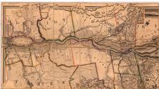
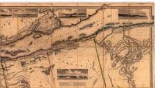
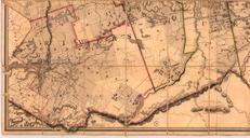
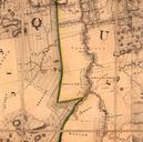
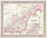
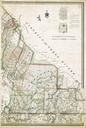
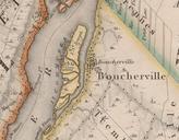
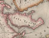
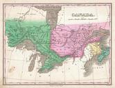
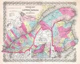
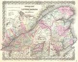
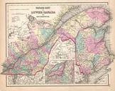
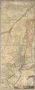
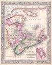
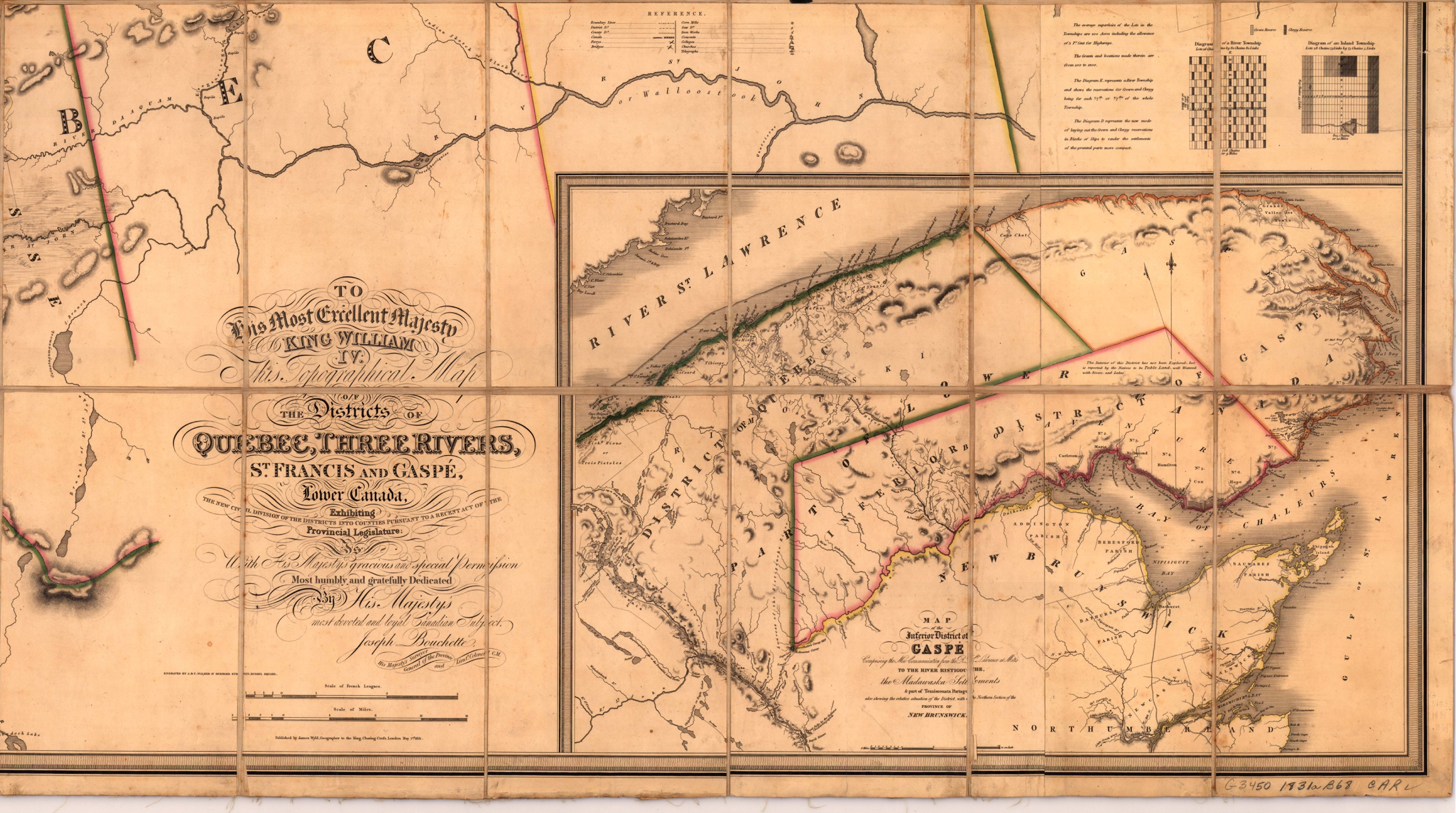
Topographical map of the districts of Quebec Three Rivers St.Francis and Gaspe Lower Canada D. en To his most Excellent Majesty King William IV This topographical map of the districts of Quebec Three Rivers St Francis and Gasp Lower Canada exhibiting the new civil division of the districts into counties pursuant to recent Act of