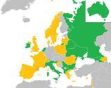
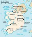
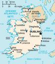
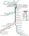
Related Images


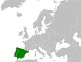

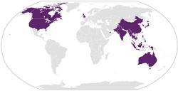


Download:
| Tiny | 102x128 | View | Download |
| Small | 204x256 | View | Download |
| Medium | 408x512 | View | Download |
| Original svg | 538x675 | View | Download |
| Original as jpg | 538x675 | View | Download |
This image was acquired from
wikimedia. It was marked as Public Domain or CC0 and is free to use. To verify, go to the source and check the information there.
Looking for more info about this image?
Try a Google Reverse Image Search for it.
Try a Google Reverse Image Search for it.
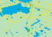
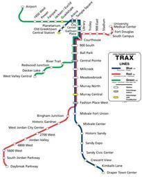
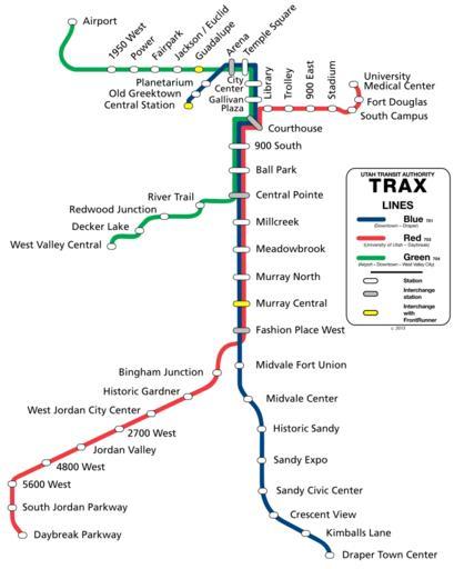
Keywords from Image Description:
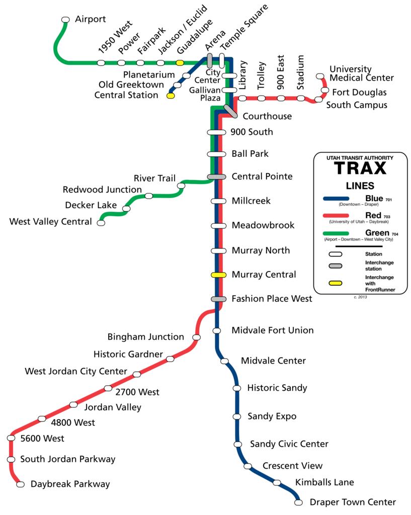
Trax map .svg en Map of Trax circa This is how the system will look once the Draper and airport extensions finish own CountyLemonade Cczero UTA TRAX maps