
Related Images


Download:
| Tiny | 256x128 | View | Download |
| Small | 512x256 | View | Download |
| Medium | 1025x512 | View | Download |
| Large | 2050x1024 | View | Download |
| Original svg | 7783x3886 | View | Download |
| Original as jpg | 7783x3886 | View | Download |
This image was acquired from
wikimedia. It was marked as Public Domain or CC0 and is free to use. To verify, go to the source and check the information there.
Looking for more info about this image?
Try a Google Reverse Image Search for it.
Try a Google Reverse Image Search for it.
Keywords from Image Description:
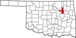
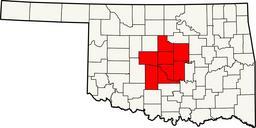
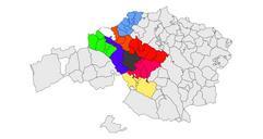
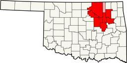
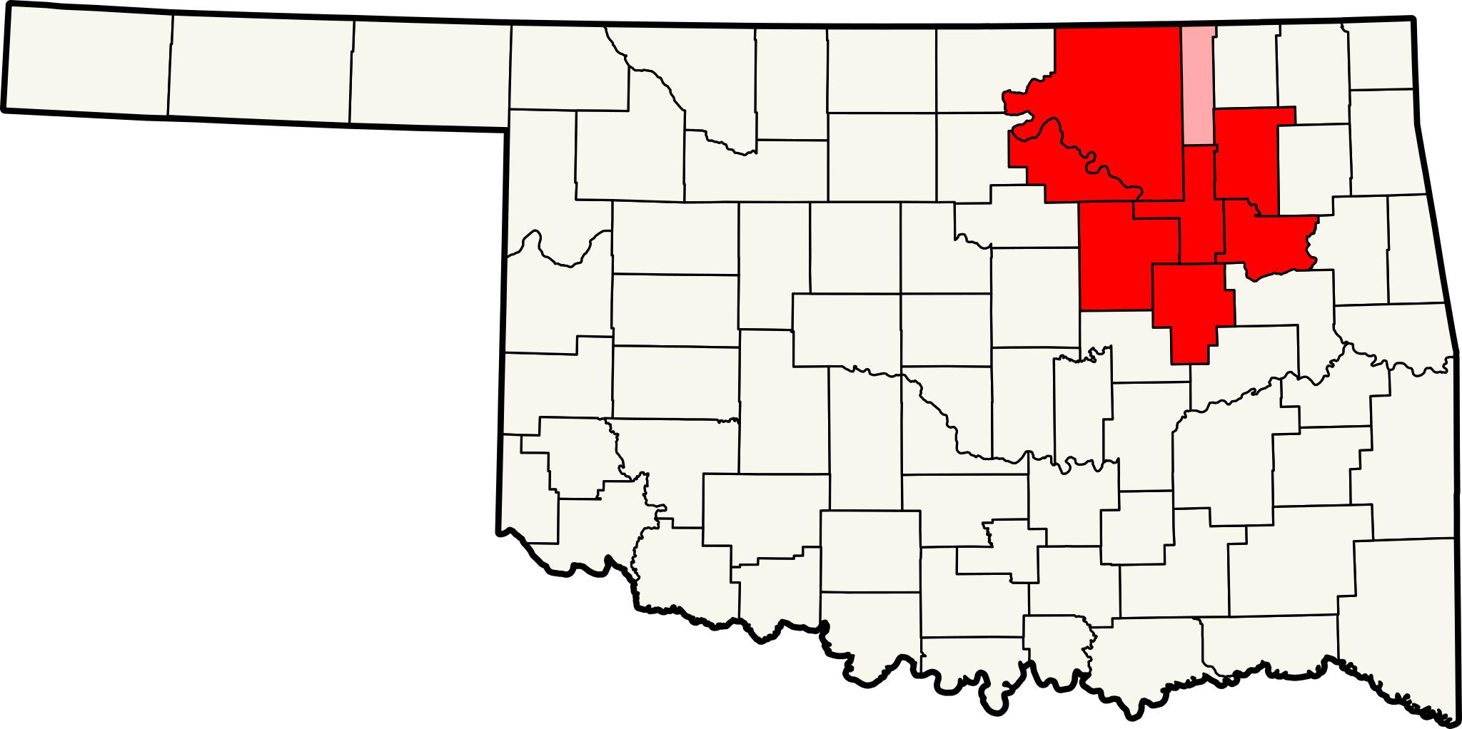
Tulsa Metro.svg Map of the Tulsa Metropolitan Area Tulsa Metropolitan Statistical Area MSA red and the Bartlesville Oklahoma Bartlesville Micropolitan Statistical Area pink The two areas together form the Tulsa Bartlesville Combined Maps of census statistical areas in Oklahoma Census Statistical Area CSA Based on File Map of Oklahoma