Related Images


Download:
| Tiny | 171x128 | View | Download |
| Small | 342x256 | View | Download |
| Medium | 685x512 | View | Download |
| Large | 1371x1024 | View | Download |
| Original | 2048x1529 | View | Download |
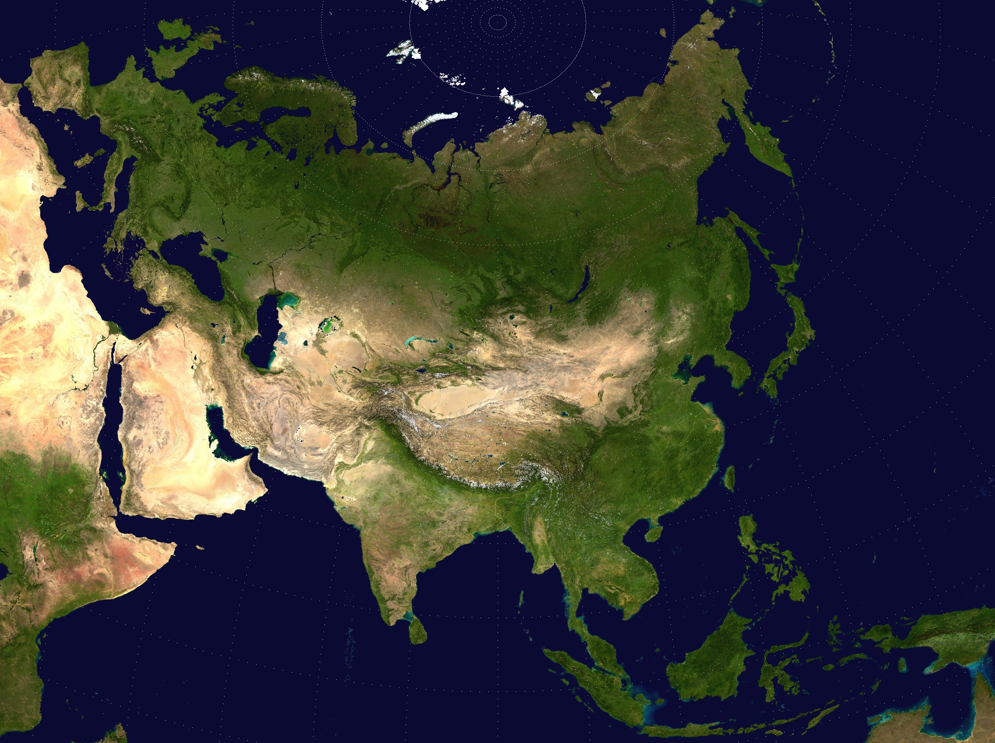
This image was acquired from
wikimedia. It was marked as Public Domain or CC0 and is free to use. To verify, go to the source and check the information there.
Looking for more info about this image?
Try a Google Reverse Image Search for it.
Try a Google Reverse Image Search for it.
Keywords from Image Description:
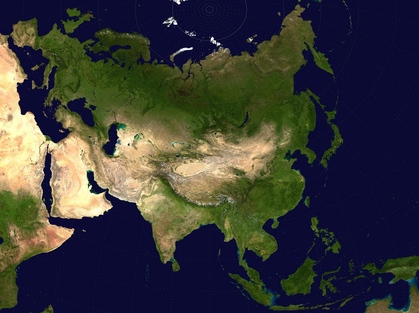
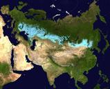
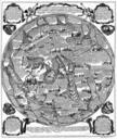
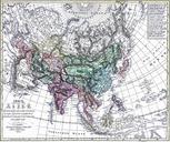
Twopointequidistantasia. Eurasian steppe belt map Two Point Equidistant projection of Asia The control points are at and The reticle is degrees in latitude and longitude with the central meridian at The source image is product of NASA's Blue Marble project derivative works DerivativeVersions Eurasian steppe belt Maps of Eurasia