
Related Images


Download:
| Tiny | 164x128 | View | Download |
| Small | 328x256 | View | Download |
| Medium | 657x512 | View | Download |
| Large | 1314x1024 | View | Download |
| Original | 4000x3116 | View | Download |
This image was acquired from
wikimedia. It was marked as Public Domain or CC0 and is free to use. To verify, go to the source and check the information there.
Looking for more info about this image?
Try a Google Reverse Image Search for it.
Try a Google Reverse Image Search for it.
Keywords from Image Description:
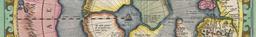
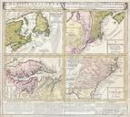
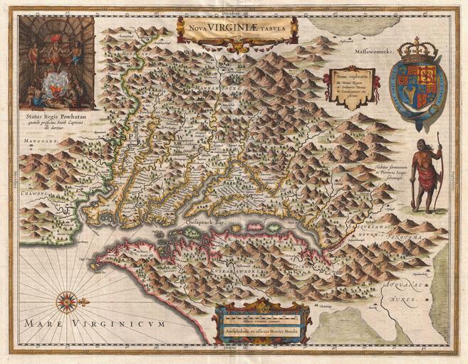
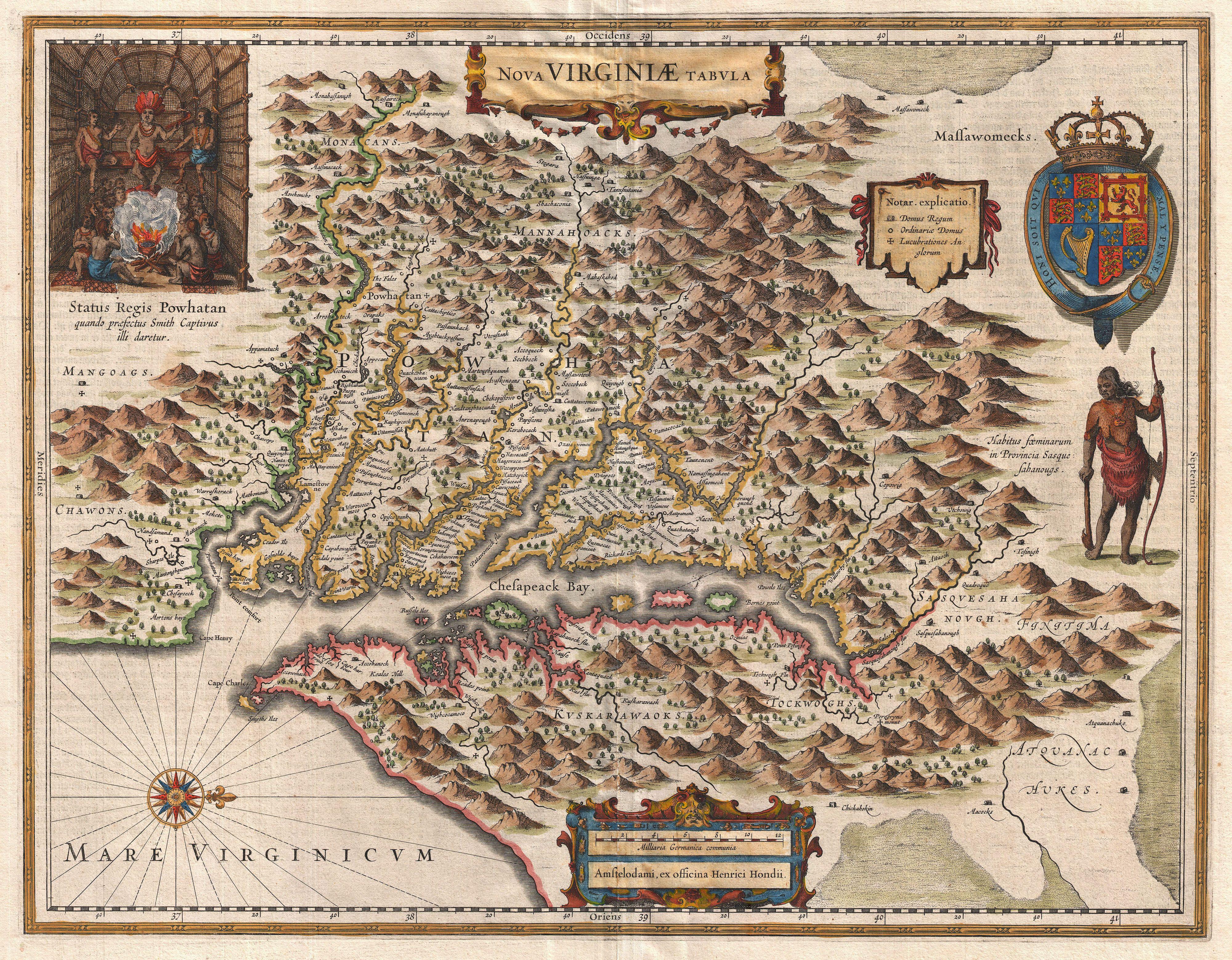
Hondius Map of Virginia and the Chesapeake Geographicus NovaVirginiaeTabulahondius. very fine example of Henricus Hondius map of the Virginia colony and the Chesapeake Bay Oriented to the west this map covers from Cape Henry to the Susquehanna River and inland as far as the Appalachian Mountains The Chesapeake Bay is shown in