Related Images


Download:
| Tiny | 162x128 | View | Download |
| Small | 324x256 | View | Download |
| Medium | 649x512 | View | Download |
| Large | 1298x1024 | View | Download |
| Original tiff | 11970x9439 | View | Download |
| Original as jpg | 11970x9439 | View | Download |
This image was acquired from
wikimedia. It was marked as Public Domain or CC0 and is free to use. To verify, go to the source and check the information there.
Looking for more info about this image?
Try a Google Reverse Image Search for it.
Try a Google Reverse Image Search for it.
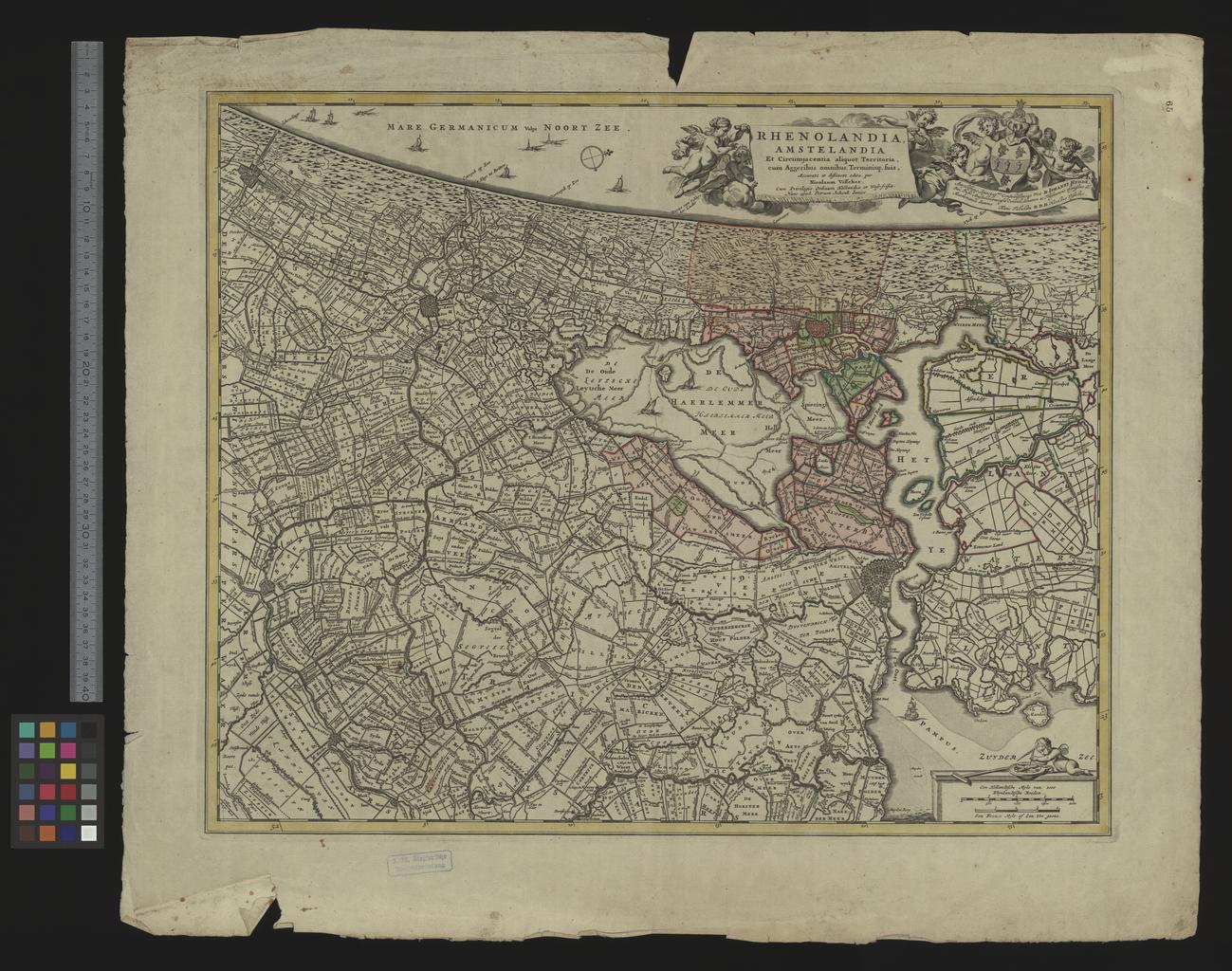
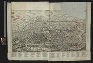
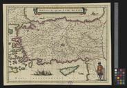
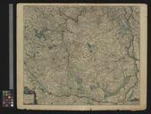
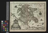
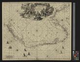
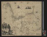
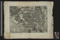
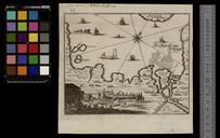
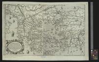
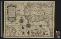
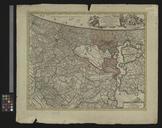
Keywords from Image Description:
UBBasel Map Kartenslg Mappe Rhenolandia Amstelandia. accession number Basel UB unibas ch localbase DSV conlng GER func findb findcode SYS request Kartenslg Mappe Nicolaes Visscher Pieter Schenk Map of Holland made between spanning from the Hague Gravenhage till north of Amsterdam by Nicolaum Visscher Size cm help warp