
Related Images


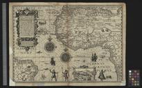
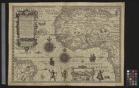

Download:
| Tiny | 162x128 | View | Download |
| Small | 324x256 | View | Download |
| Medium | 649x512 | View | Download |
| Large | 1299x1024 | View | Download |
| Original tiff | 10579x8337 | View | Download |
| Original as jpg | 10579x8337 | View | Download |
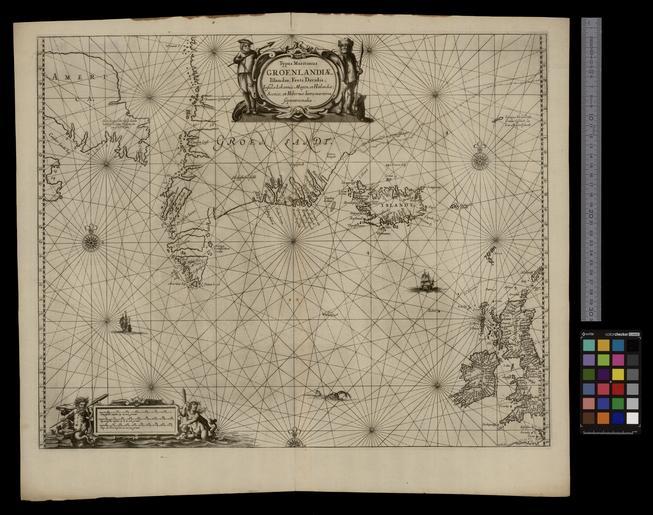
This image was acquired from
wikimedia. It was marked as Public Domain or CC0 and is free to use. To verify, go to the source and check the information there.
Looking for more info about this image?
Try a Google Reverse Image Search for it.
Try a Google Reverse Image Search for it.
Keywords from Image Description:
UBBasel Map Grnland Island Britische Inseln Kartenslg Mappe .tif Typus Maritimus Groenlandiae Islandiae Freti Davidis Insulae Iohannis Mayen et Hitlandiae Scotiae et Hiberniae litora maritima septentrionalis cm help warp Institution Basel University Library Grnland Island Britische Inseln map date Kupferdruck Titelkartusche