Related Images


Download:
| Tiny | 166x128 | View | Download |
| Small | 332x256 | View | Download |
| Medium | 665x512 | View | Download |
| Original | 1255x965 | View | Download |
This image was acquired from
wikimedia. It was marked as Public Domain or CC0 and is free to use. To verify, go to the source and check the information there.
Looking for more info about this image?
Try a Google Reverse Image Search for it.
Try a Google Reverse Image Search for it.
Keywords from Image Description:
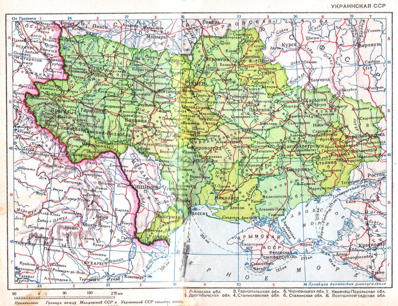
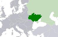
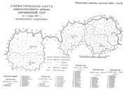
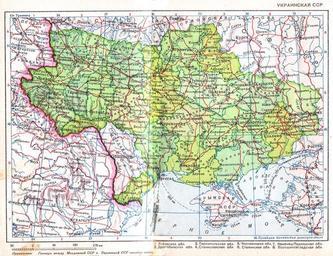
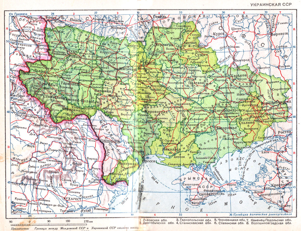
Ukrainian SSR edit. Ukrainian SSR Scale year The adjacent parts of Poland occupied by Nazi Germany are labeled area of state interests of Germany Pocket Atlas of the USSR th ed Leningrad Chief Administration of Geodesy and Cartography under the Council of People's Commissars of the USSR Page Soviet government