Related Images


Download:
| Tiny | 182x128 | View | Download |
| Small | 365x256 | View | Download |
| Medium | 730x512 | View | Download |
| Large | 1461x1024 | View | Download |
| Original | 3632x2544 | View | Download |
This image was acquired from
wikimedia. It was marked as Public Domain or CC0 and is free to use. To verify, go to the source and check the information there.
Looking for more info about this image?
Try a Google Reverse Image Search for it.
Try a Google Reverse Image Search for it.
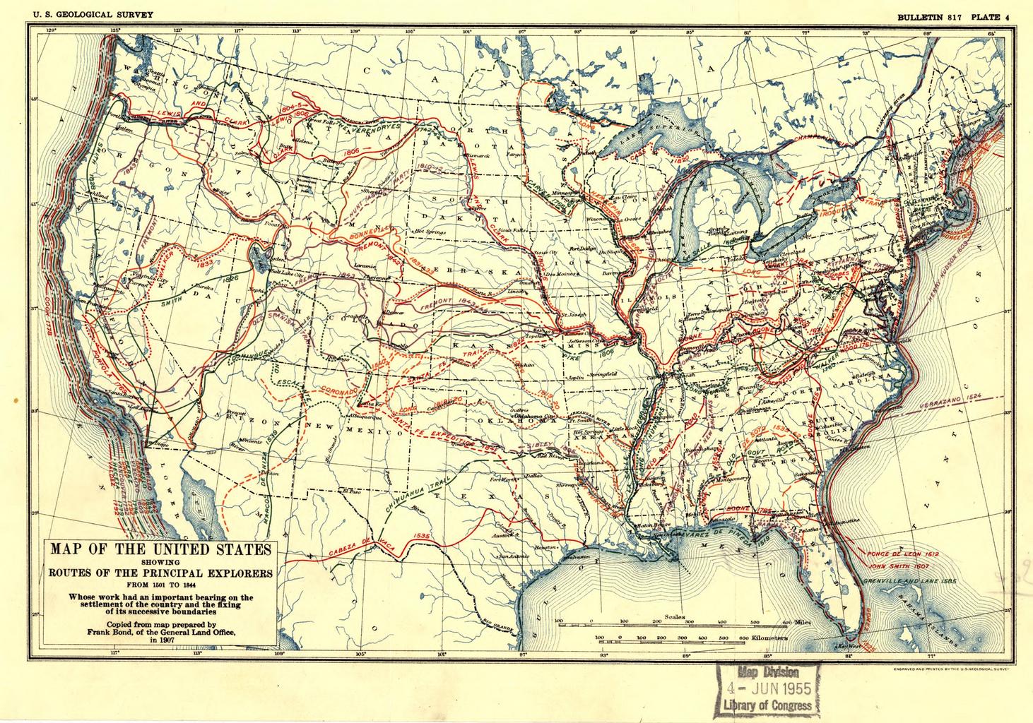
Keywords from Image Description:
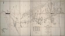
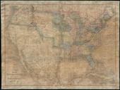
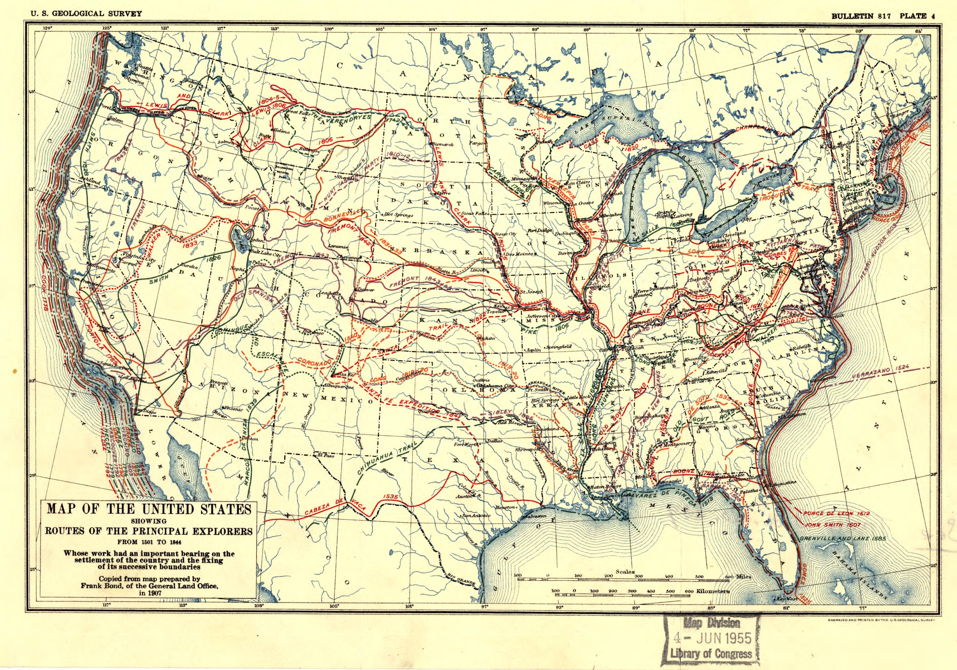
United States exploration routes . Map of the United States showing routes of principal explorers from to Prepared by Frank Bond of the federal government's General Land Office Printed in Geological Survey Bulletin Plate Scale ca Digital version produced by the Library of Congress Geography and Map Division JPEG source