Related Images


Download:
| Tiny | 182x128 | View | Download |
| Small | 365x256 | View | Download |
| Medium | 730x512 | View | Download |
| Large | 1461x1024 | View | Download |
| Original | 4000x2803 | View | Download |
This image was acquired from
wikimedia. It was marked as Public Domain or CC0 and is free to use. To verify, go to the source and check the information there.
Looking for more info about this image?
Try a Google Reverse Image Search for it.
Try a Google Reverse Image Search for it.
Keywords from Image Description:
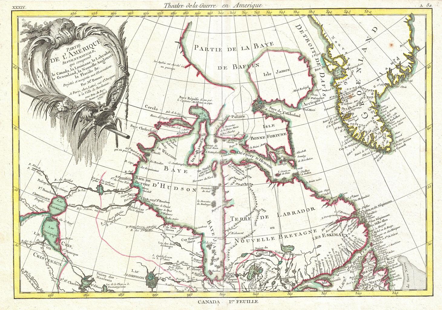
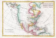
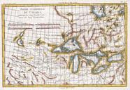
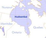
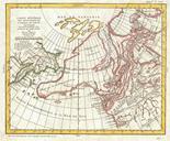
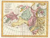
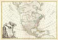
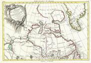
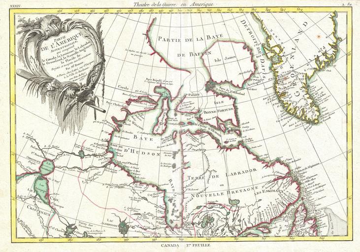
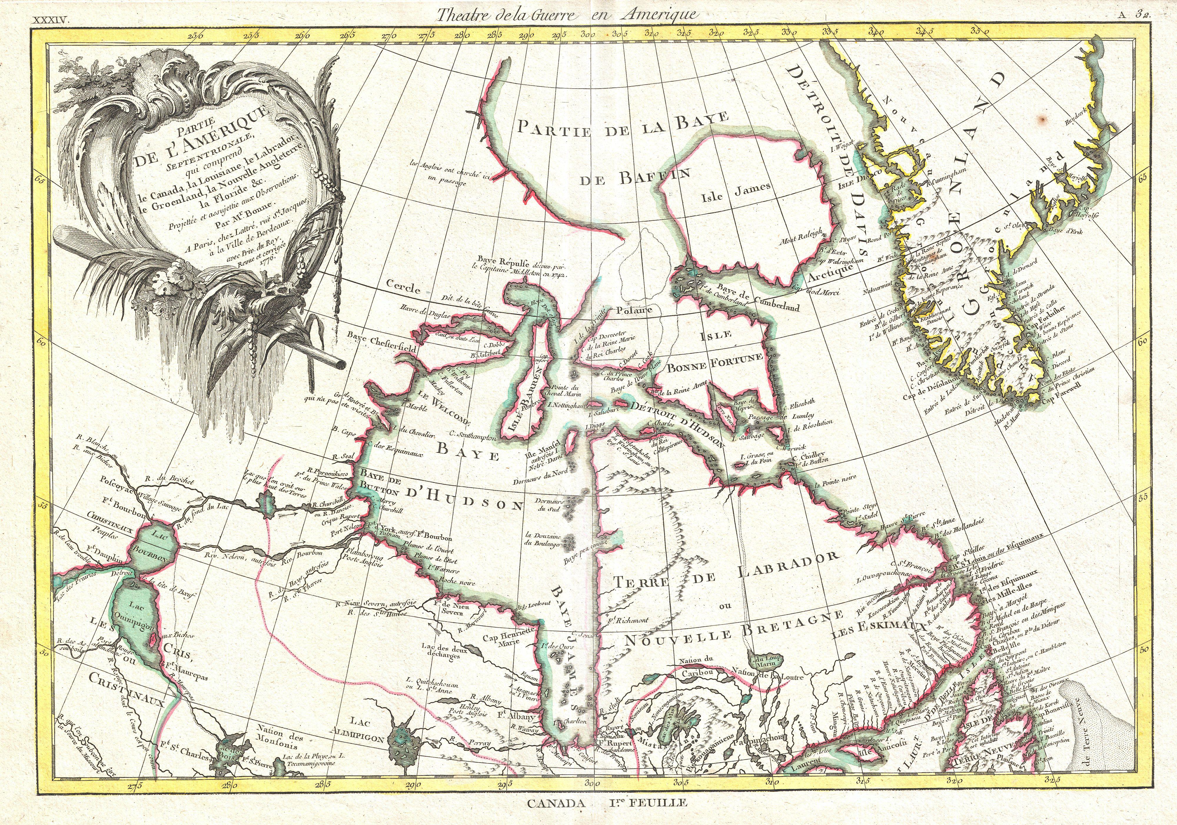
Bonne Map of the Hudson Bay Canada Geographicus HudsonBaybonne. This is an important map of the Hudson Bay and the surrounding areas issued in by the French cartographer Rigobert Bonne Covers much of what is today northeastern Canada from Lake Winnipeg to Greenland including all of Hudson Bay This region was hotbed of exploration