
Related Images


Download:
| Tiny | 208x128 | View | Download |
| Small | 416x256 | View | Download |
| Medium | 832x512 | View | Download |
| Original | 1300x800 | View | Download |
This image was acquired from
wikimedia. It was marked as Public Domain or CC0 and is free to use. To verify, go to the source and check the information there.
Looking for more info about this image?
Try a Google Reverse Image Search for it.
Try a Google Reverse Image Search for it.
Keywords from Image Description:
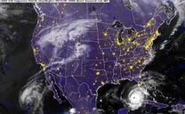
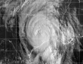
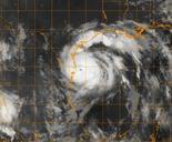
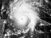
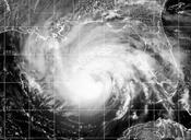
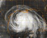
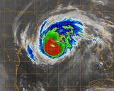
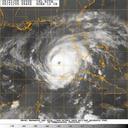
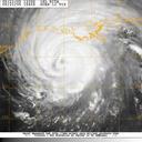
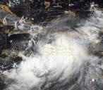
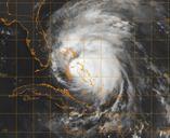
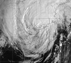
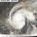
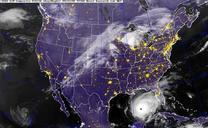
US Navy NX GOES Satellite infrared image provided by the U.S. Naval Research Laboratory Monterey Calif. showing the status of Hurricane Rita at am EST. en Gulf of Mexico Sept GOES Satellite infrared image provided by the Naval Research Laboratory Monterey Calif showing the status of Hurricane Rita at am EST Rita currently miles