
Related Images


This image was acquired from
wikimedia. It was marked as Public Domain or CC0 and is free to use. To verify, go to the source and check the information there.
Looking for more info about this image?
Try a Google Reverse Image Search for it.
Try a Google Reverse Image Search for it.
Keywords from Image Description:
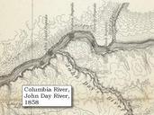
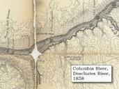
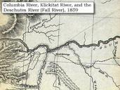
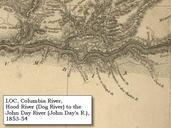
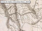
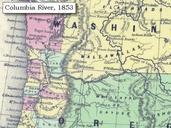
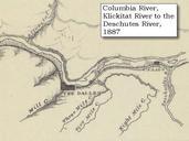
Uwarchives map columbia the dalles . Map section of original Columbia River at The Dalles including the Deschutes River and Miller Island Click to enlarge Original Map The Columbia River from Celilo to the mouth showing locations of the salmon fisheries Scale ca Relief shown by hachures Army Corps of Engineers Engineer Office