
Related Images


This image was acquired from
wikimedia. It was marked as Public Domain or CC0 and is free to use. To verify, go to the source and check the information there.
Looking for more info about this image?
Try a Google Reverse Image Search for it.
Try a Google Reverse Image Search for it.
Keywords from Image Description:
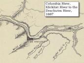
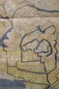
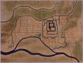
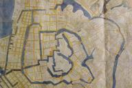
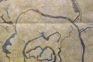
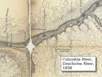
Uwarchives map recon deschutes . Military Recon Map section of original Deschutes River confluence with the Columbia River Click to enlarge Washington State is north top and Oregon is south bottom Miller Island is under the fold marks Deschutes Peak today is called Haystack Butte Original Map Map of military reconnaissance from