Related Images


Download:
| Tiny | 184x128 | View | Download |
| Small | 369x256 | View | Download |
| Medium | 739x512 | View | Download |
| Large | 1479x1024 | View | Download |
| Original | 3038x2103 | View | Download |
This image was acquired from
wikimedia. It was marked as Public Domain or CC0 and is free to use. To verify, go to the source and check the information there.
Looking for more info about this image?
Try a Google Reverse Image Search for it.
Try a Google Reverse Image Search for it.
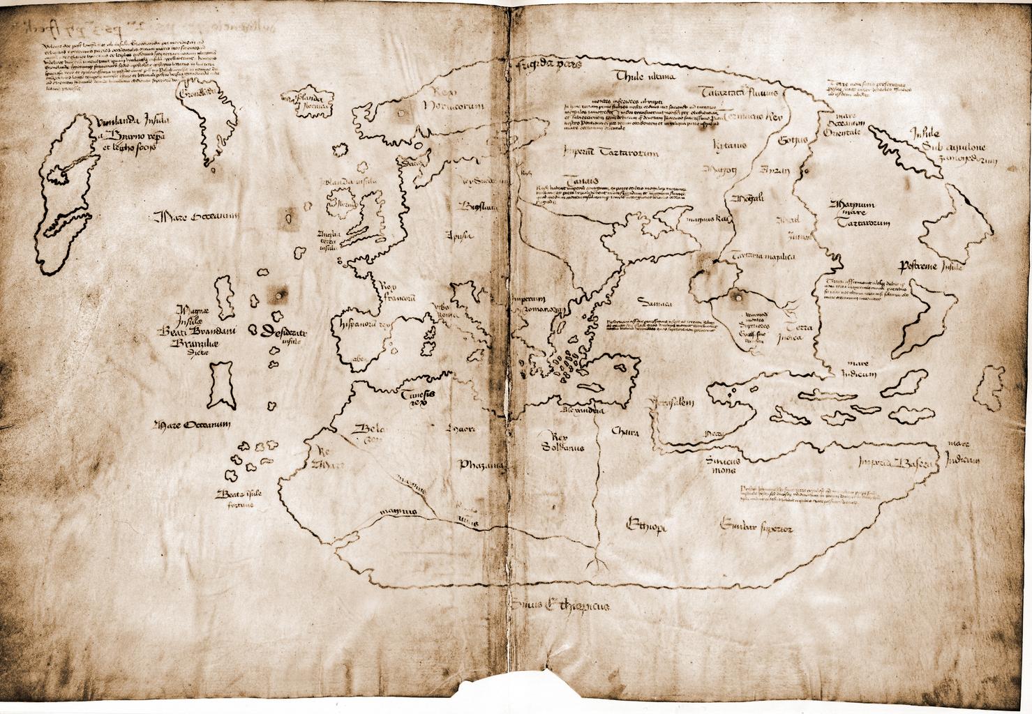
Keywords from Image Description:
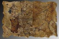
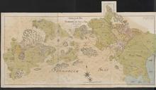
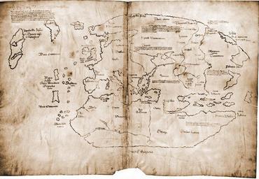
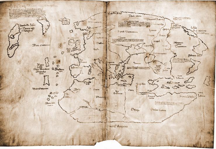
Vinland Map HiRes. Assessments Vinland Map picture of the day Dimensions by centimeters by inches The Vinland map chart is purportedly th century Mappa Mundi redrawn from th century original Drawn with black ink on animal skin if authentic the map is the first known depiction of the North American coastline created