Related Images


Download:
| Tiny | 178x128 | View | Download |
| Small | 357x256 | View | Download |
| Medium | 714x512 | View | Download |
| Large | 1429x1024 | View | Download |
| Original tiff | 2276x1630 | View | Download |
| Original as jpg | 2276x1630 | View | Download |
This image was acquired from
wikimedia. It was marked as Public Domain or CC0 and is free to use. To verify, go to the source and check the information there.
Looking for more info about this image?
Try a Google Reverse Image Search for it.
Try a Google Reverse Image Search for it.
Keywords from Image Description:
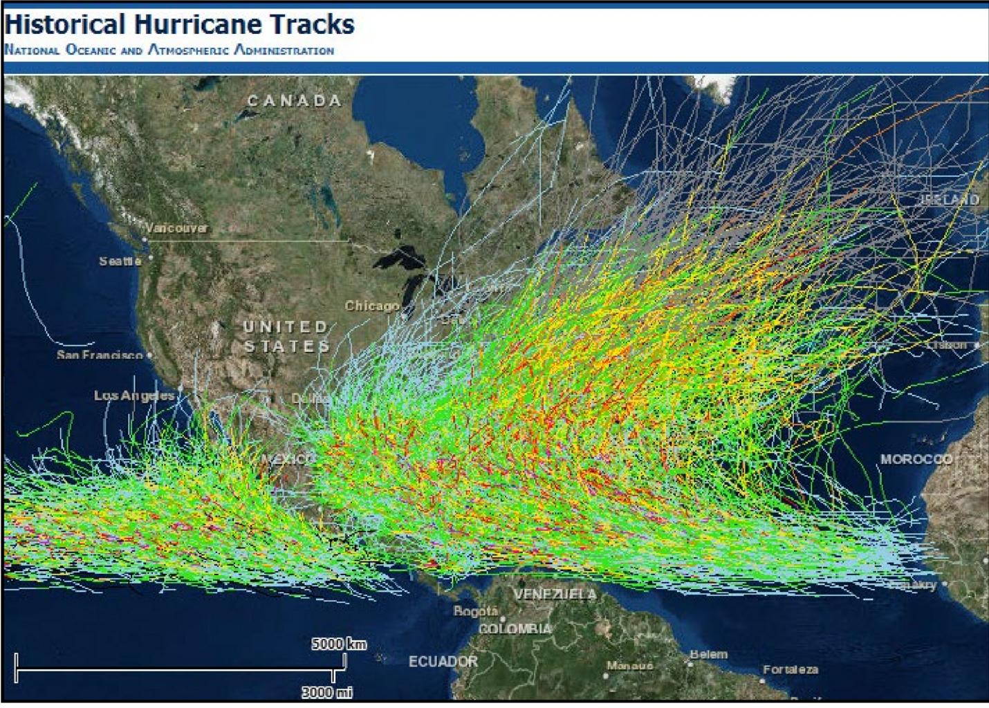
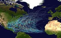
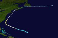
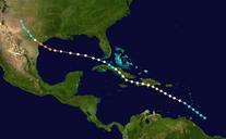
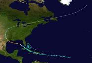
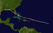
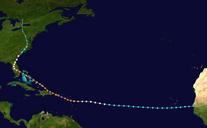
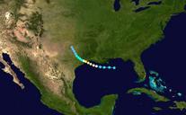
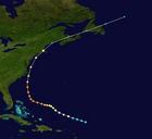
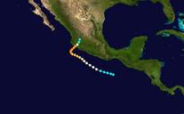
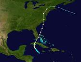
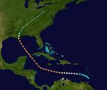
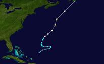
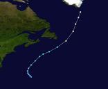
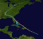
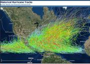
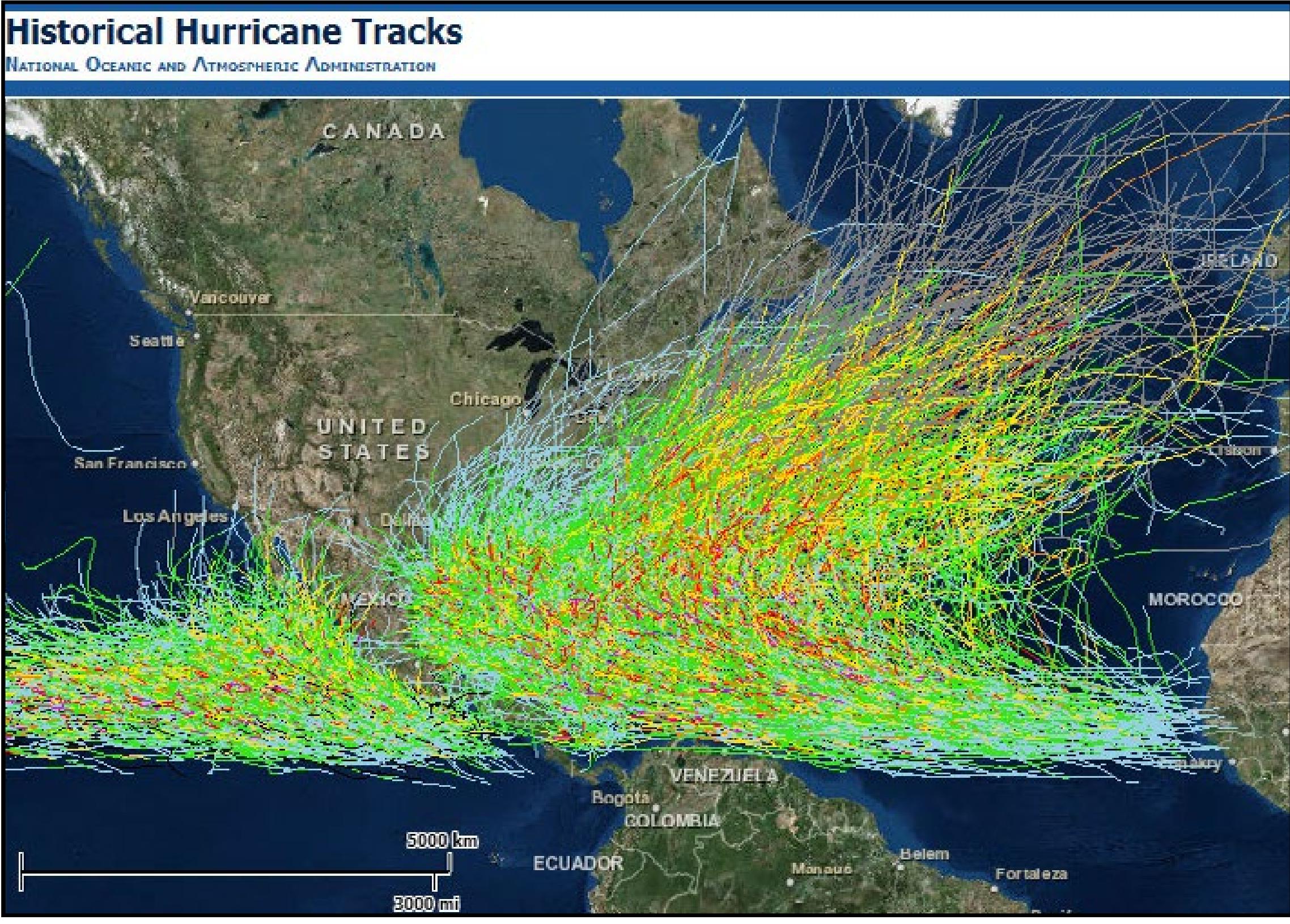
Visualize historical hurricane tracks. en NOAA Coastal Services Center has redesigned an online map tool for visualizing the tracks of historical hurricanes es El centro de servicio costanero NOAA remodelado su herramienta en la web para trazar las rutas de hurracanes histricos NOAA in the Caribbean regions noaa gov pdf NOAA other