Related Images


Download:
| Tiny | 120x128 | View | Download |
| Small | 241x256 | View | Download |
| Medium | 483x512 | View | Download |
| Large | 967x1024 | View | Download |
| Original | 2509x2656 | View | Download |
This image was acquired from
wikimedia. It was marked as Public Domain or CC0 and is free to use. To verify, go to the source and check the information there.
Looking for more info about this image?
Try a Google Reverse Image Search for it.
Try a Google Reverse Image Search for it.
Keywords from Image Description:
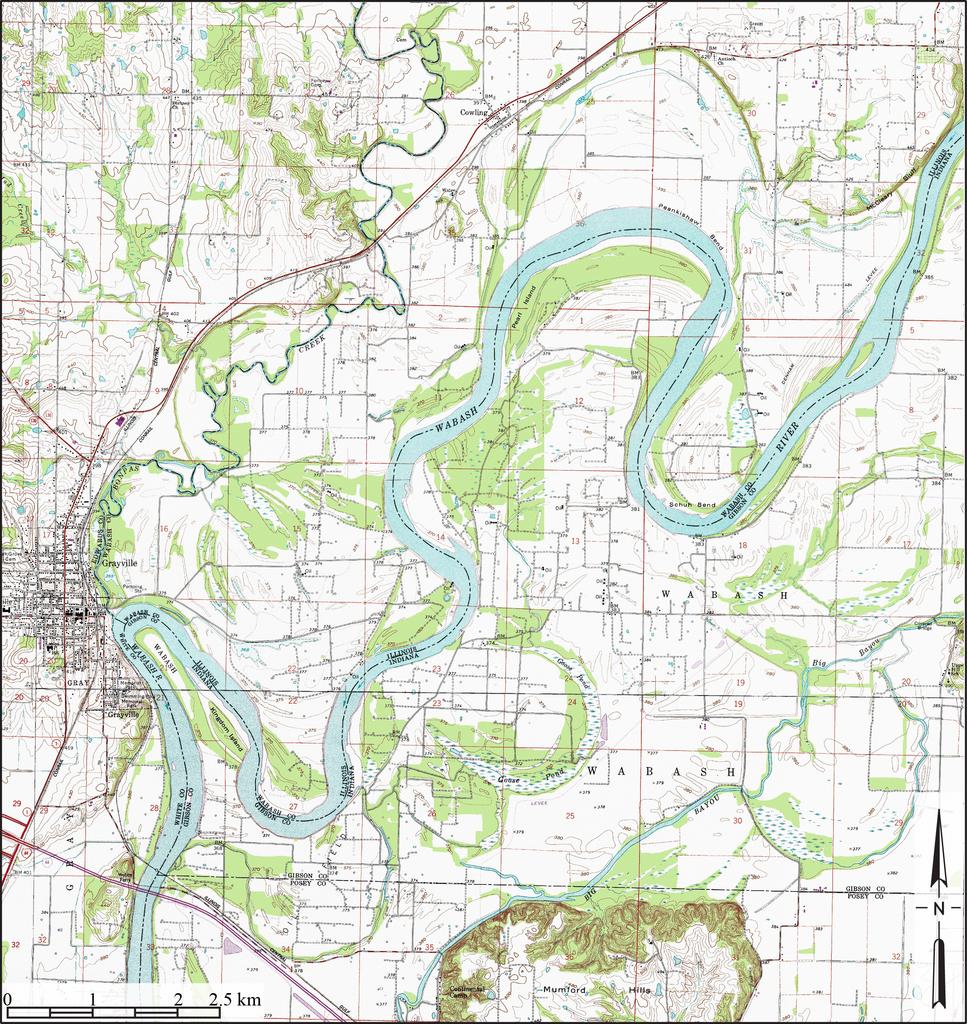
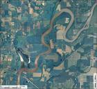
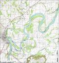
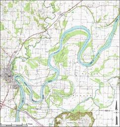
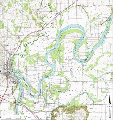
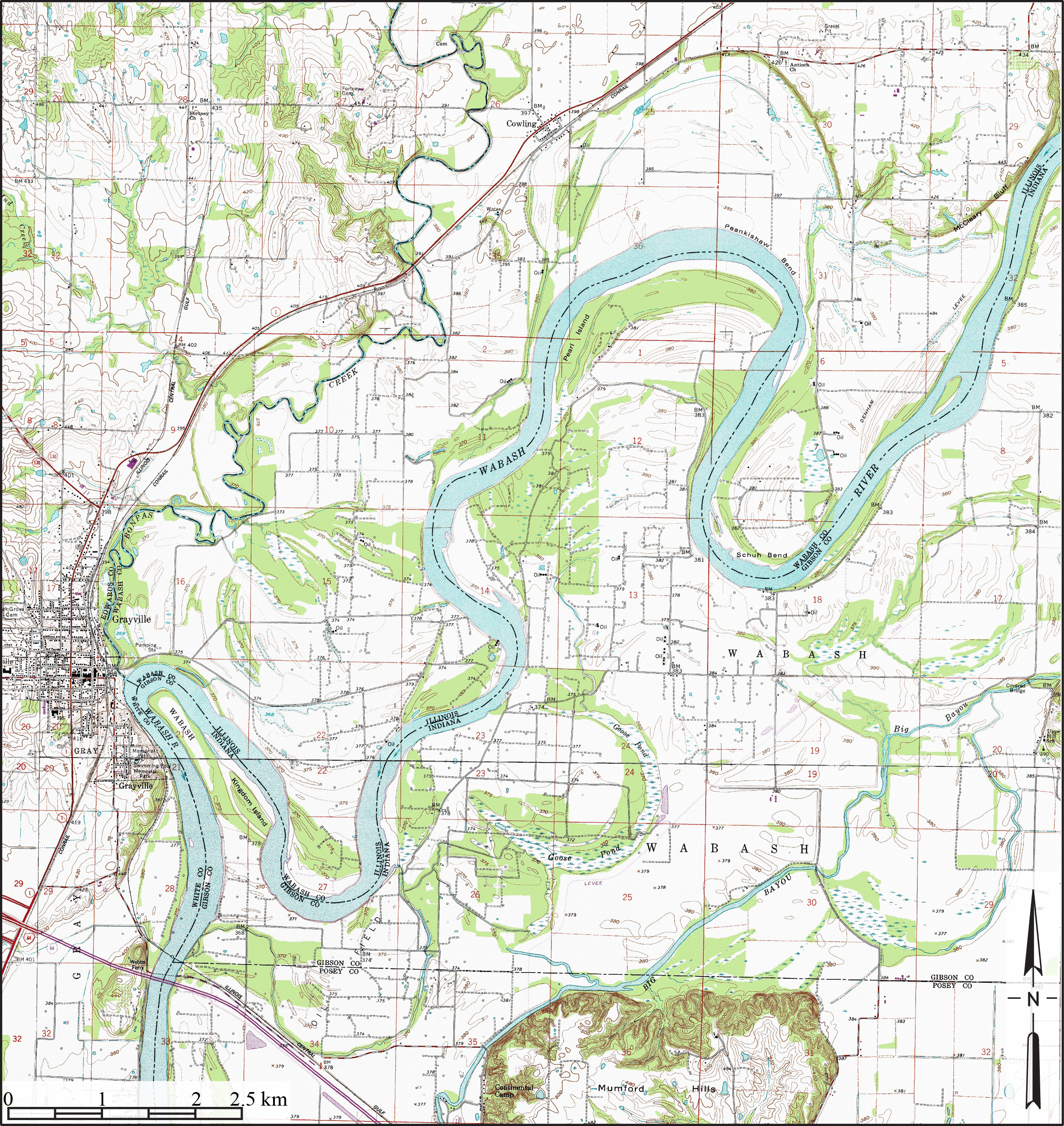
Wabash River Meanders Grayville Illinois Topo. en Topographic map illustrating floodplain meanders ridge and swale scroll topography and associated oxbow lake Goose Pond of Wabash River Created from Gibson County Indiana and White County Illinois NAIP USGS topographic map mosaics from USDA National Cartography Geospatial Center