
Related Images


Download:
| Tiny | 174x128 | View | Download |
| Small | 349x256 | View | Download |
| Medium | 698x512 | View | Download |
| Large | 1397x1024 | View | Download |
| Original | 5000x3664 | View | Download |
This image was acquired from
wikimedia. It was marked as Public Domain or CC0 and is free to use. To verify, go to the source and check the information there.
Looking for more info about this image?
Try a Google Reverse Image Search for it.
Try a Google Reverse Image Search for it.
Keywords from Image Description:
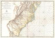
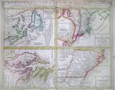
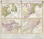
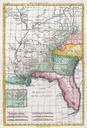
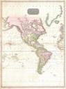
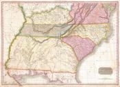
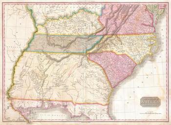
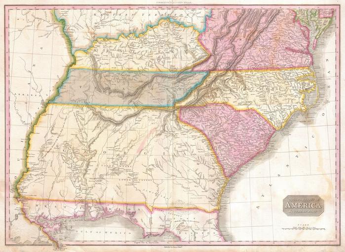
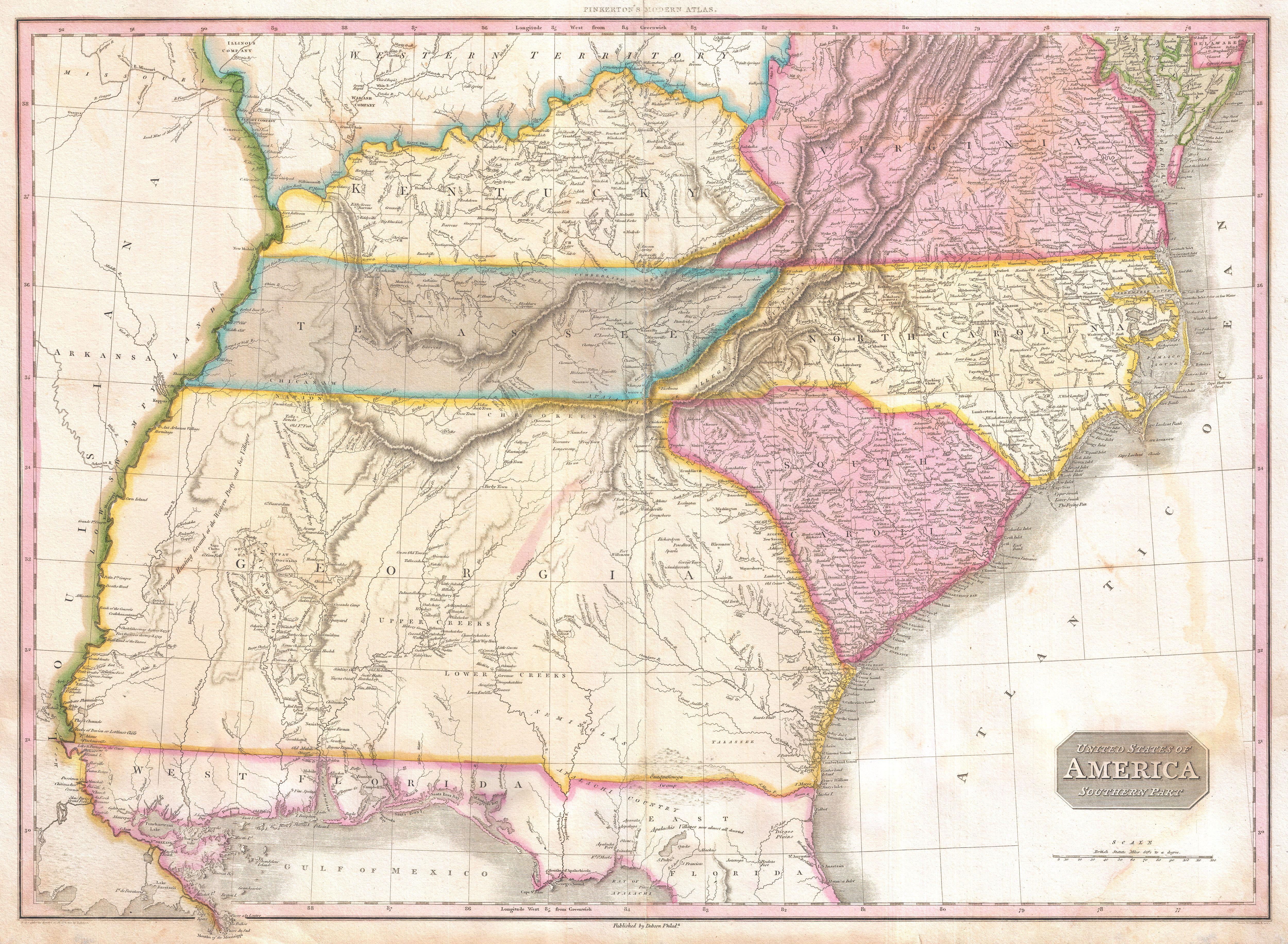
Pinkerton Map of the Southeastern United States Carolina Georgia Virginia Geographicus USASouthernPartpinkerton. rare and important map of the southeastern part of the United States Depicts from the Mississippi River eastward to the Pacific extends north as far as Delaware and south as far as Florida and the Mississippi Delta