
Related Images


Download:
| Tiny | 93x128 | View | Download |
| Small | 187x256 | View | Download |
| Medium | 374x512 | View | Download |
| Large | 748x1024 | View | Download |
| Original | 1275x1744 | View | Download |
This image was acquired from
wikimedia. It was marked as Public Domain or CC0 and is free to use. To verify, go to the source and check the information there.
Looking for more info about this image?
Try a Google Reverse Image Search for it.
Try a Google Reverse Image Search for it.
Keywords from Image Description:
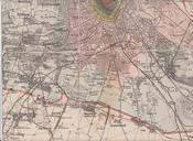
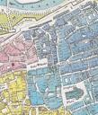
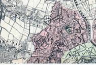
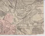
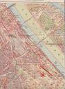
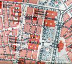
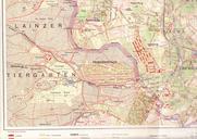
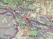
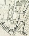
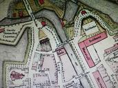
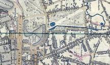
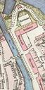
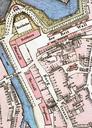
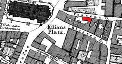
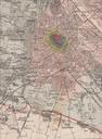
Wien Stadtplan Ausschnitt. en Part of map showing the development of the City of Vienna from the Middle Ages till when the districts to were created by incorporating suburbs Grtelstrasse to be seen as well as the Linienwall fortification to be pulled down from Published by the Municipality of Vienna de Ausschnitt aus einem um