Download:
| Tiny | 39x128 | View | Download |
| Small | 79x256 | View | Download |
| Medium | 158x512 | View | Download |
| Large | 317x1024 | View | Download |
| Original | 501x1616 | View | Download |
This image was acquired from
wikimedia. It was marked as Public Domain or CC0 and is free to use. To verify, go to the source and check the information there.
Looking for more info about this image?
Try a Google Reverse Image Search for it.
Try a Google Reverse Image Search for it.
Keywords from Image Description:
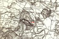
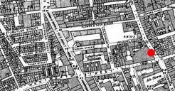
Windermerecroped. Windermere on Ordnance Survey map This work is in the public domain because it is an Ordnance Survey map over years old Ordnance Survey maps are covered by crown copyright which in this case expires years after publication Ordnance Survey does however ask that they be credited and that the date of publication

