
Related Images


Download:
| Tiny | 159x128 | View | Download |
| Small | 319x256 | View | Download |
| Medium | 639x512 | View | Download |
| Large | 1278x1024 | View | Download |
| Original png | 2550x2042 | View | Download |
| Original as jpg | 2550x2042 | View | Download |
This image was acquired from
wikimedia. It was marked as Public Domain or CC0 and is free to use. To verify, go to the source and check the information there.
Looking for more info about this image?
Try a Google Reverse Image Search for it.
Try a Google Reverse Image Search for it.
Keywords from Image Description:
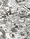
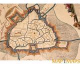
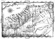
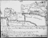
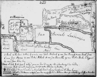
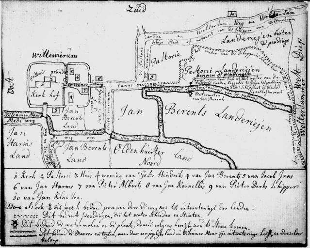
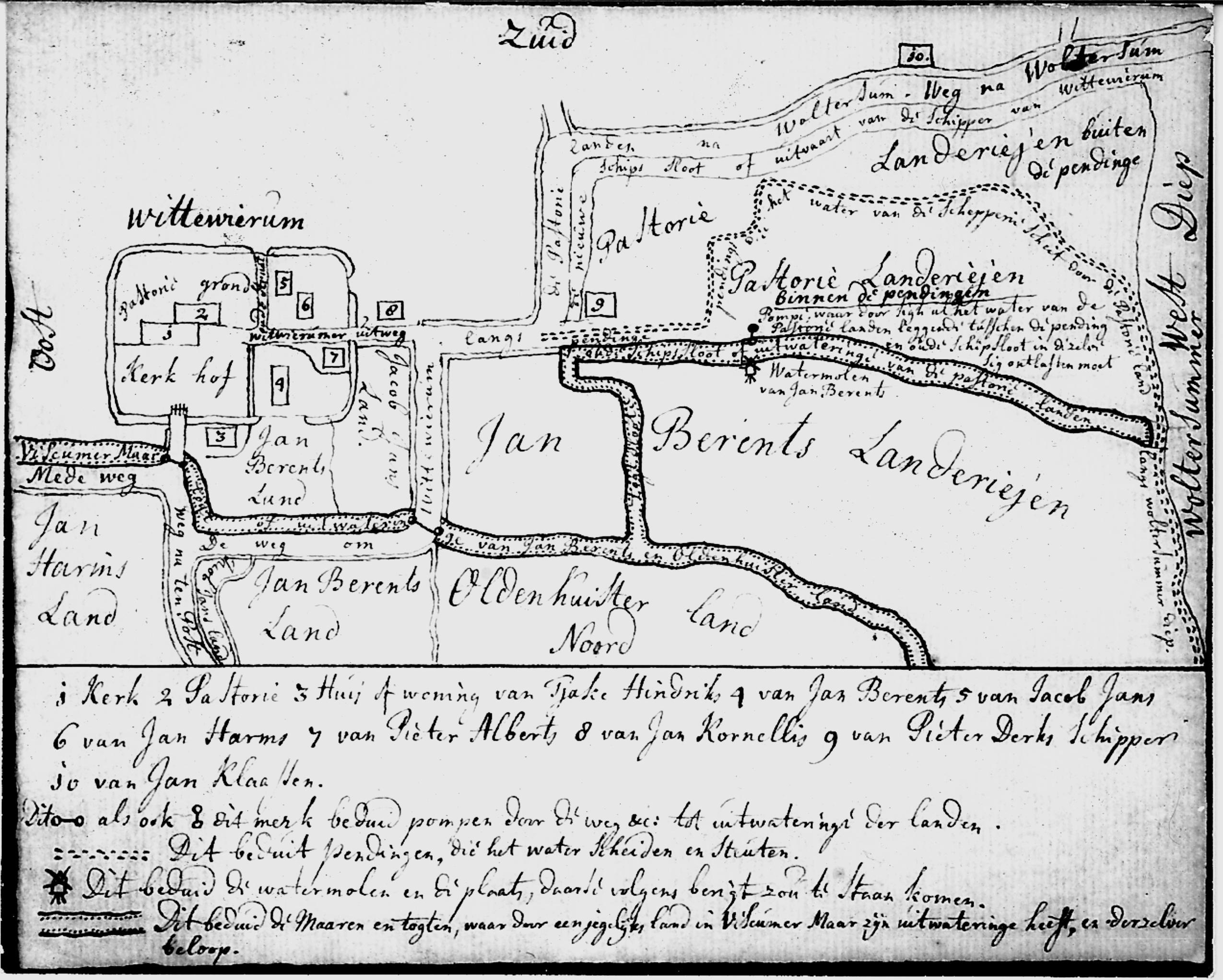
Wittewierum old map. Map of the village of Wittewierum Rijksarchief Groningen late th century Anonymous PDold similar map is on page of Boerderijen Gemeente Ten Boer en Overschild ISBN www boerderijenboeken nl Wittewierum Maps of Ten Boer PDold