Related Images


Download:
| Tiny | 181x128 | View | Download |
| Small | 362x256 | View | Download |
| Medium | 725x512 | View | Download |
| Large | 1450x1024 | View | Download |
| Original | 4568x3224 | View | Download |
This image was acquired from
wikimedia. It was marked as Public Domain or CC0 and is free to use. To verify, go to the source and check the information there.
Looking for more info about this image?
Try a Google Reverse Image Search for it.
Try a Google Reverse Image Search for it.
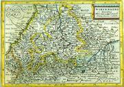
Keywords from Image Description:
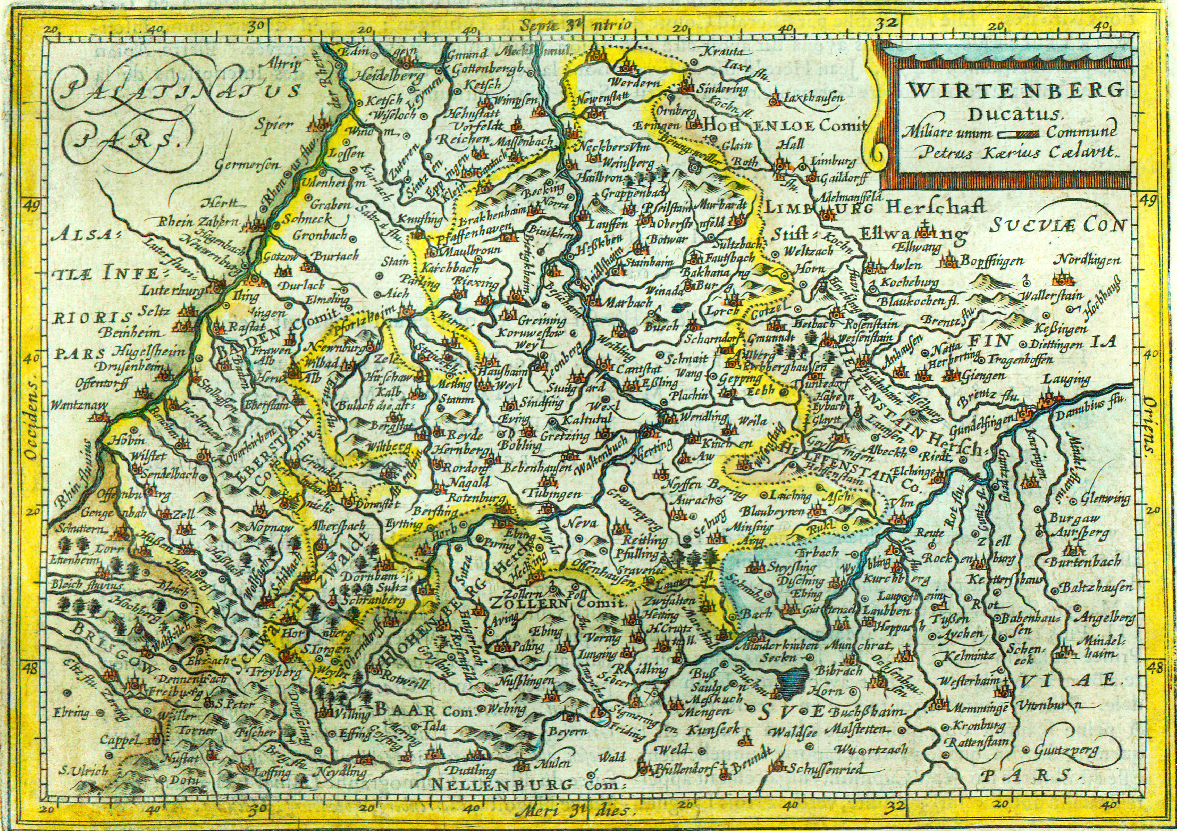
Wrttembergkarte pietervandenkeere . Topographisches Einzelblatt des Herzogtums Wrttemberg von circa br Topographical single sheet map of the duchy Wrttemberg in southern Germany from circa selbst gescannt br self scanned Mrz br March th creator Pieter van den Keere Gemeinfrei Altes Werk br Public domain old PDold thcentury