
Related Images


Download:
| Tiny | 113x128 | View | Download |
| Small | 226x256 | View | Download |
| Medium | 452x512 | View | Download |
| Original svg | 676x765 | View | Download |
| Original as jpg | 676x765 | View | Download |
This image was acquired from
wikimedia. It was marked as Public Domain or CC0 and is free to use. To verify, go to the source and check the information there.
Looking for more info about this image?
Try a Google Reverse Image Search for it.
Try a Google Reverse Image Search for it.
Keywords from Image Description:
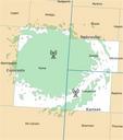
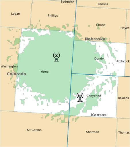
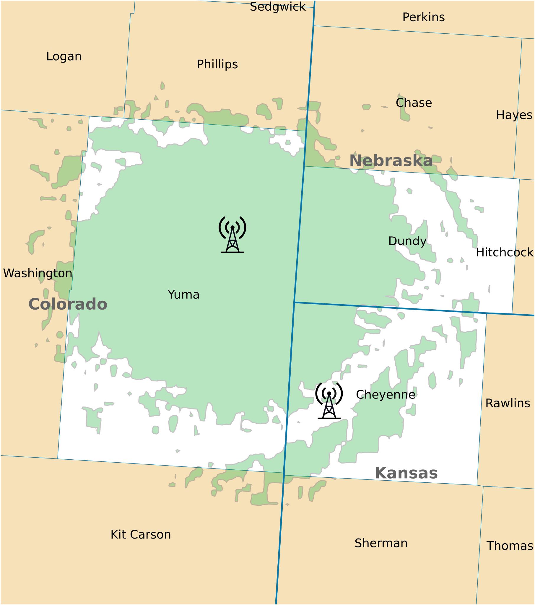
WXM coverage map.svg Wray Colorado Green signifies coverage whereas white signifies alerting areas nws noaa gov pdf User Derfel National Weather Service PDUSGov NOAA Weather Radio coverage maps Maps of Yuma County Arizona Maps of Dundy County Nebraska Maps of Cheyenne County Kansas