Related Images


Download:
| Tiny | 167x128 | View | Download |
| Small | 335x256 | View | Download |
| Medium | 671x512 | View | Download |
| Large | 1343x1024 | View | Download |
| Original | 3000x2287 | View | Download |
This image was acquired from
wikimedia. It was marked as Public Domain or CC0 and is free to use. To verify, go to the source and check the information there.
Looking for more info about this image?
Try a Google Reverse Image Search for it.
Try a Google Reverse Image Search for it.
Keywords from Image Description:
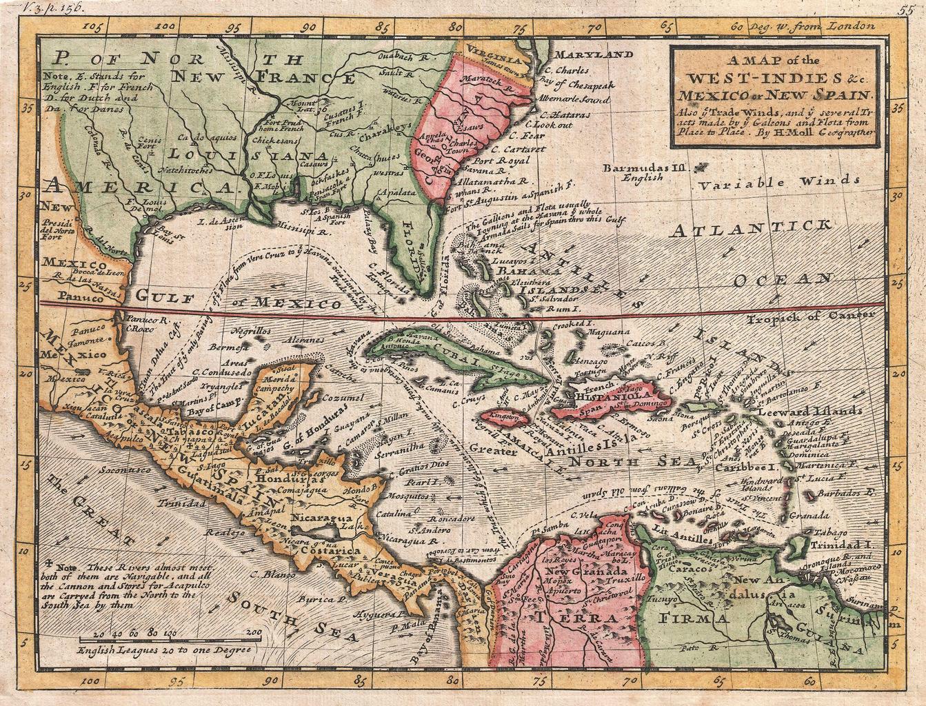
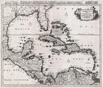
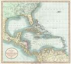
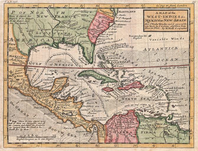
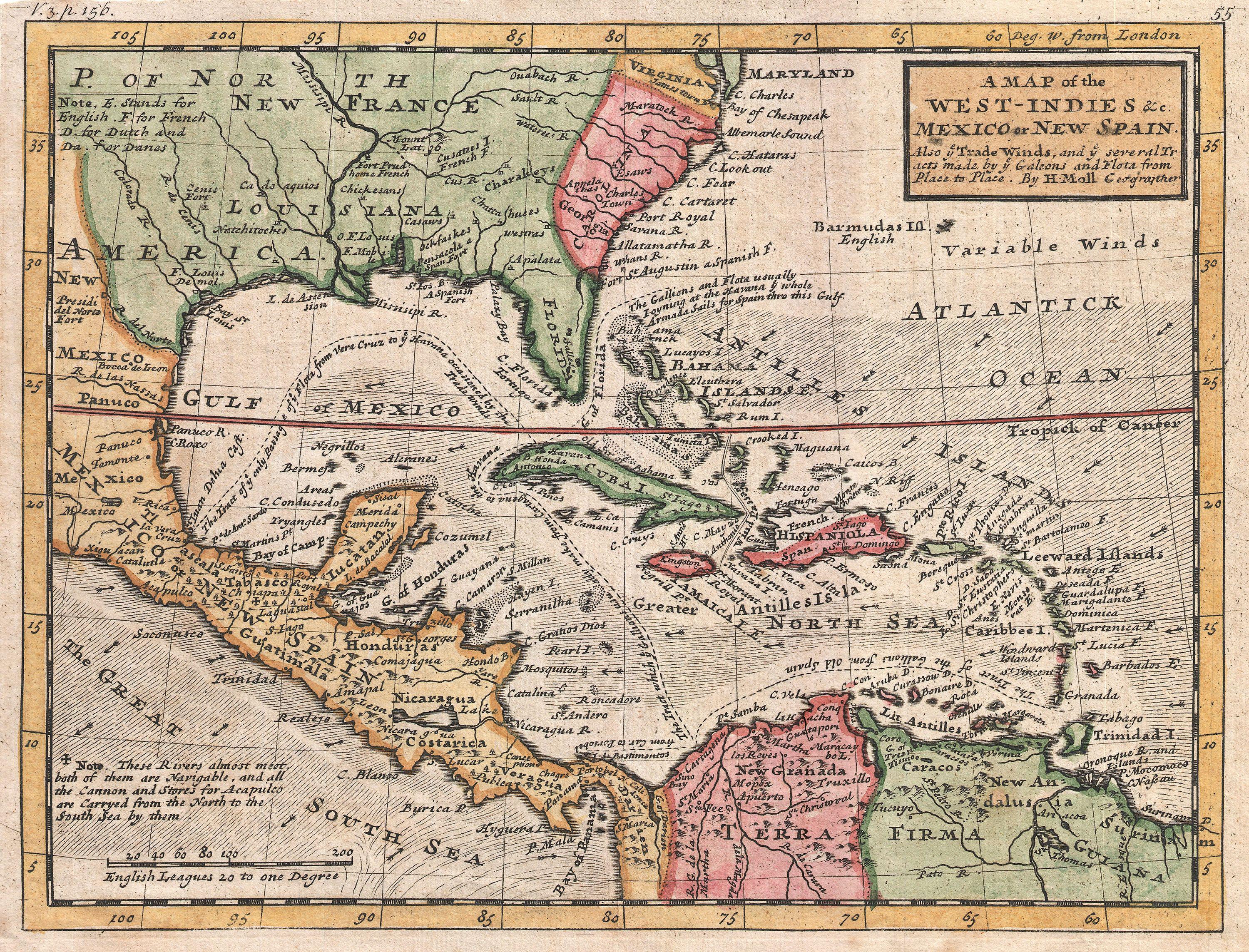
Herman Moll Map of the West Indies and Caribbean Geographicus WestIndiesmoll. This is Herman Molls small but significant map of the West Indies Moll map covers all of the West Indies eastern Mexico all of Central America the Gulf of Mexico North America as far as the Chesapeake Bay and the northern portion of South America commonly