
Related Images


Download:
| Tiny | 147x128 | View | Download |
| Small | 295x256 | View | Download |
| Medium | 591x512 | View | Download |
| Large | 1183x1024 | View | Download |
| Original | 5000x4325 | View | Download |
This image was acquired from
wikimedia. It was marked as Public Domain or CC0 and is free to use. To verify, go to the source and check the information there.
Looking for more info about this image?
Try a Google Reverse Image Search for it.
Try a Google Reverse Image Search for it.
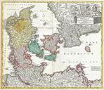
Keywords from Image Description:
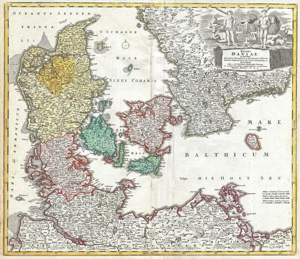
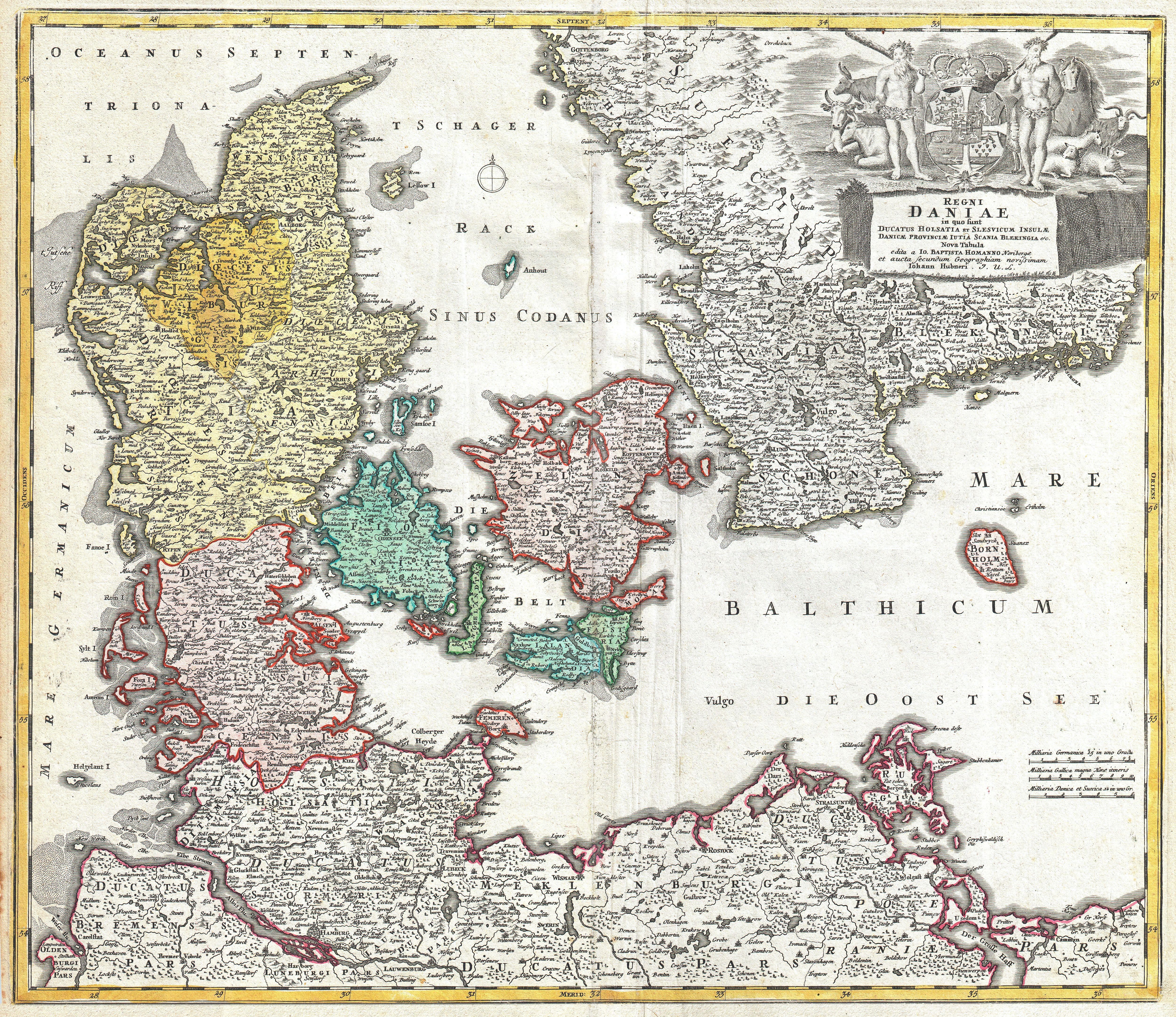
Homann Map of Denmark Geographicus RegniDaniaehomann. beautifully detailed Homann map of Denmark Depicts both insular and peninsular Denmark along with parts of Germany and Sweden The map notes fortified cities villages roads bridges forests castles and topography The elaborate title cartouche in the upper right quadrant features