Related Images

Download:
| Tiny | 147x128 | View | Download |
| Small | 294x256 | View | Download |
| Medium | 588x512 | View | Download |
| Large | 1176x1024 | View | Download |
| Original | 5000x4353 | View | Download |
This image was acquired from
wikimedia. It was marked as Public Domain or CC0 and is free to use. To verify, go to the source and check the information there.
Looking for more info about this image?
Try a Google Reverse Image Search for it.
Try a Google Reverse Image Search for it.
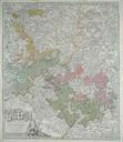
Keywords from Image Description:
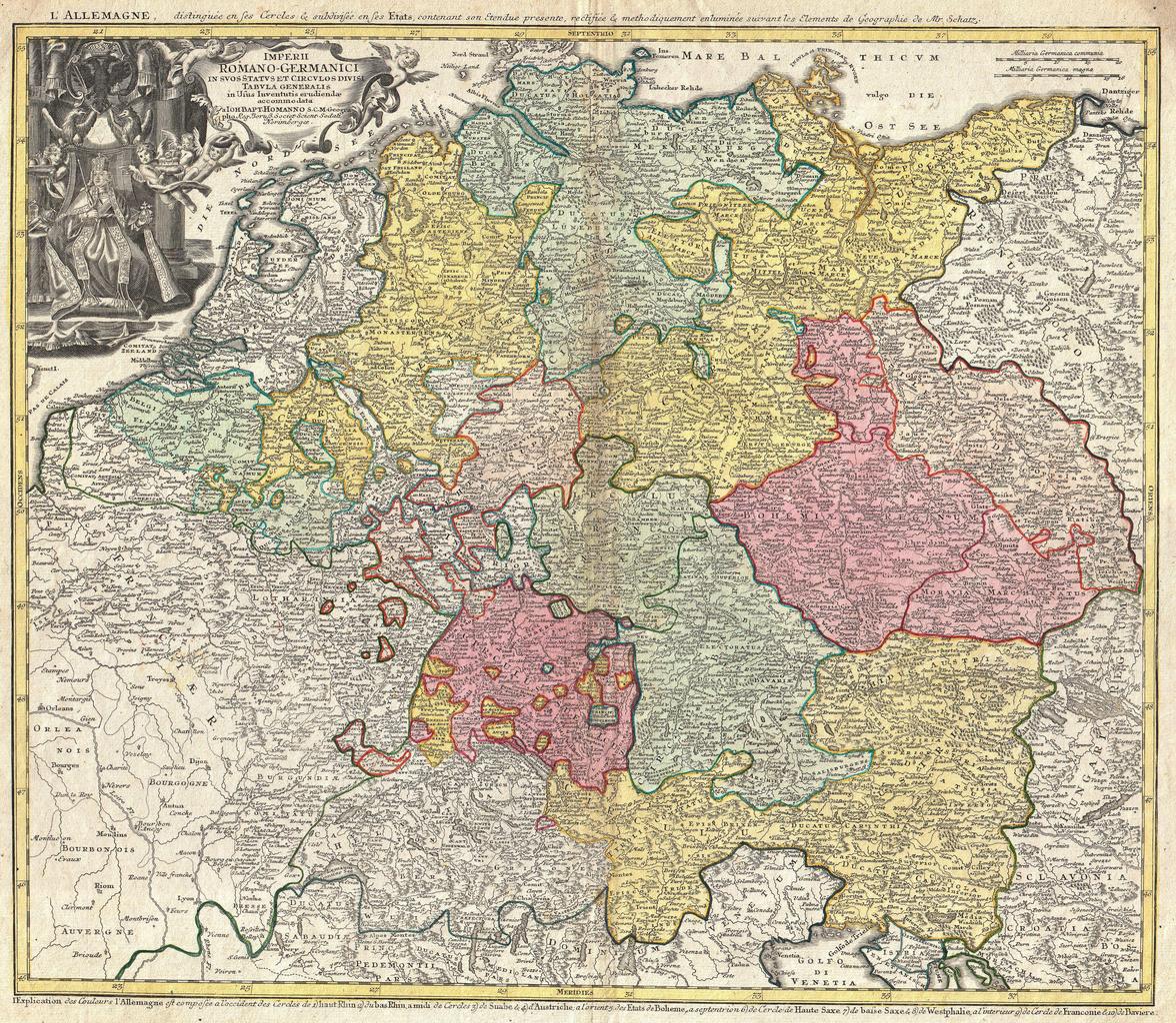
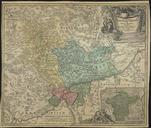
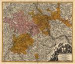
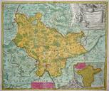
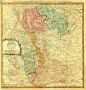
Homann Map of the Holy Roman Empire Germanic Empire Geographicus ImperiiRomanoGermanhomann. beautifully detailed Homann map of those parts of Europe dominated by the Holy Roman Empire or the German Empire Depicts most of central Europe from the Netherlands eastward as far as Poland and Hungary and as far south as northern Italy