Related Images

Download:
| Tiny | 149x128 | View | Download |
| Small | 299x256 | View | Download |
| Medium | 598x512 | View | Download |
| Large | 1196x1024 | View | Download |
| Original | 5000x4279 | View | Download |
This image was acquired from
wikimedia. It was marked as Public Domain or CC0 and is free to use. To verify, go to the source and check the information there.
Looking for more info about this image?
Try a Google Reverse Image Search for it.
Try a Google Reverse Image Search for it.
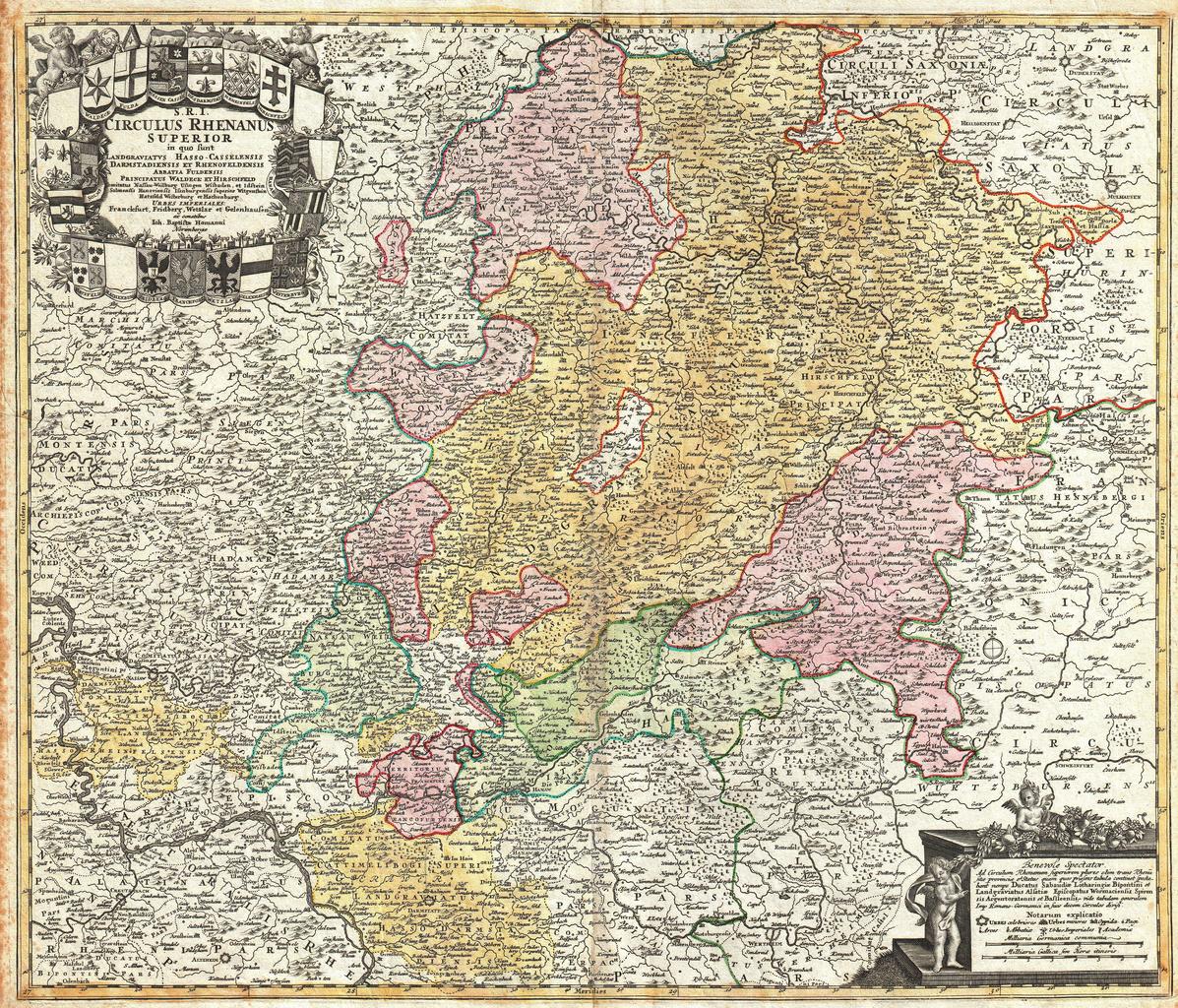
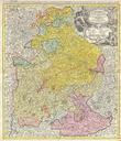
Keywords from Image Description:
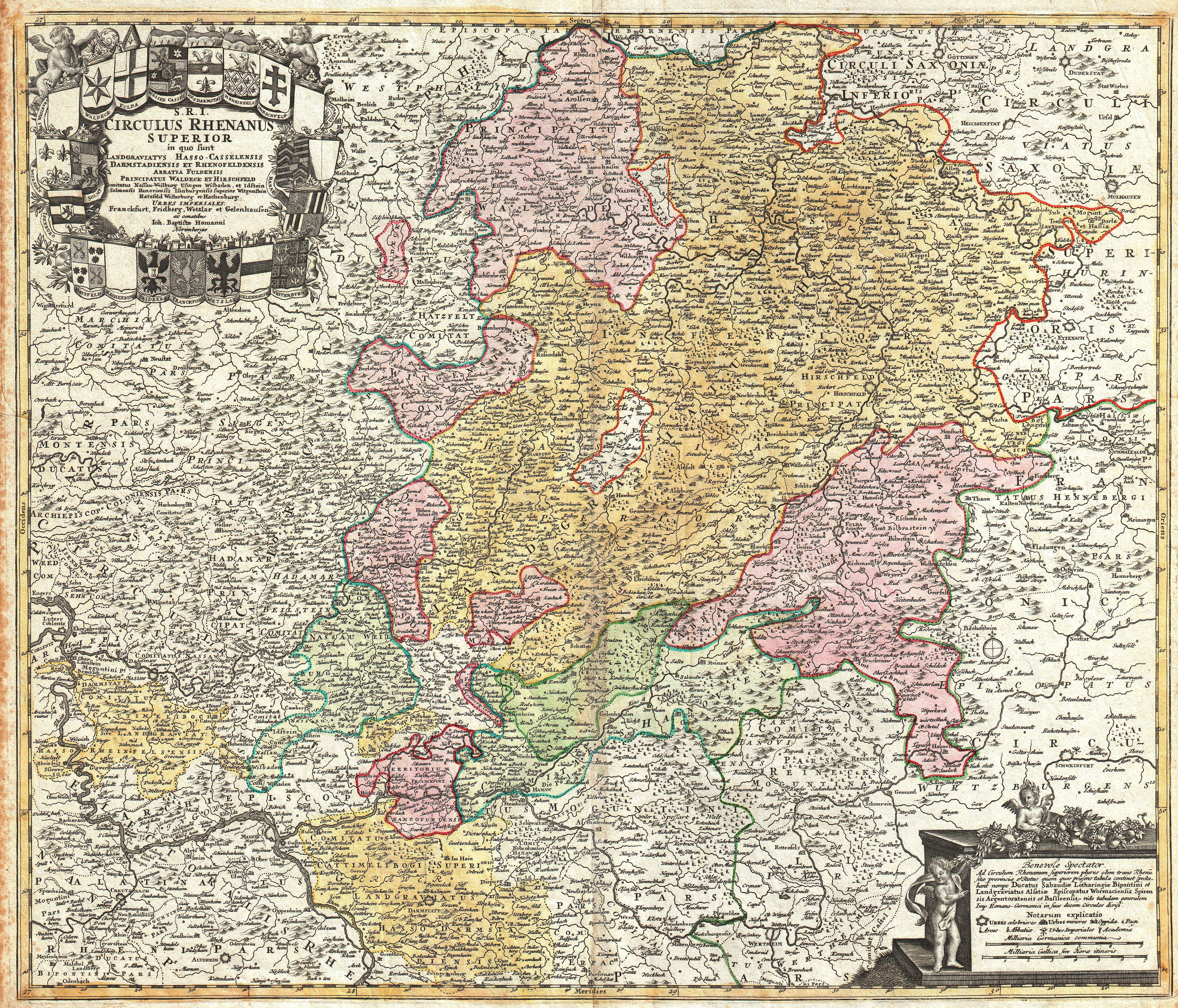
Homann Map of the Upper Rhine Frankfurt Cassel Coblentz Darmstadt Geographicus RhenanusSuperiorhomann. beautifully detailed Homann Heirs map of Upper Rhine region Covers from Coblentz eastward as far as Schweinfurt Schmalkalden and Mulhausen northwards as far as Gottingen and southwards as far as Darmstadt and Wertheim Includes