
Related Images


Download:
| Tiny | 174x128 | View | Download |
| Small | 348x256 | View | Download |
| Medium | 697x512 | View | Download |
| Original png | 1015x745 | View | Download |
| Original as jpg | 1015x745 | View | Download |
This image was acquired from
wikimedia. It was marked as Public Domain or CC0 and is free to use. To verify, go to the source and check the information there.
Looking for more info about this image?
Try a Google Reverse Image Search for it.
Try a Google Reverse Image Search for it.
Keywords from Image Description:
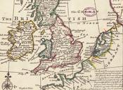
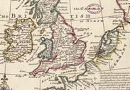
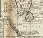
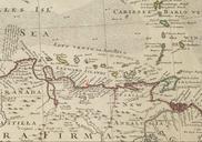
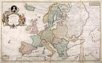
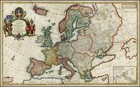
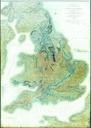
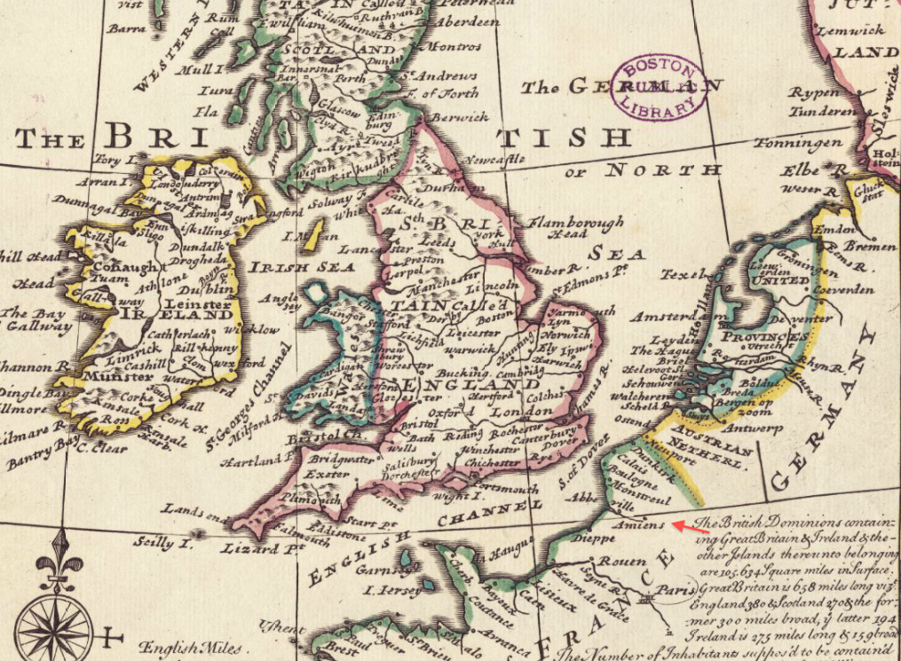
Amiens detail of General Map of Great Britain and Ireland with Part of Germany Holland Flanders France by Moll BPL . Detail of general map of Great Britain and Ireland with part of Germany Holland Flanders France agreeable to modern history Author Moll Herman Publisher Bowles Thomas Date Scale ca Boston Public Library Map Center