
Related Images


Download:
| Tiny | 262x128 | View | Download |
| Small | 524x256 | View | Download |
| Medium | 1049x512 | View | Download |
| Large | 2098x1024 | View | Download |
| Original | 4000x1952 | View | Download |
This image was acquired from
wikimedia. It was marked as Public Domain or CC0 and is free to use. To verify, go to the source and check the information there.
Looking for more info about this image?
Try a Google Reverse Image Search for it.
Try a Google Reverse Image Search for it.
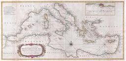
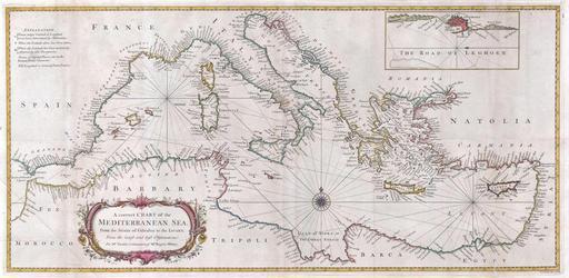
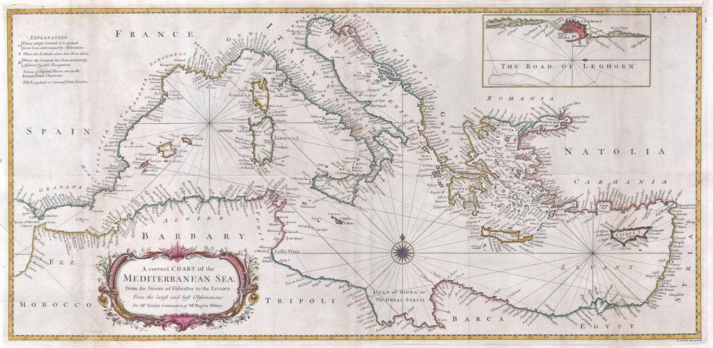
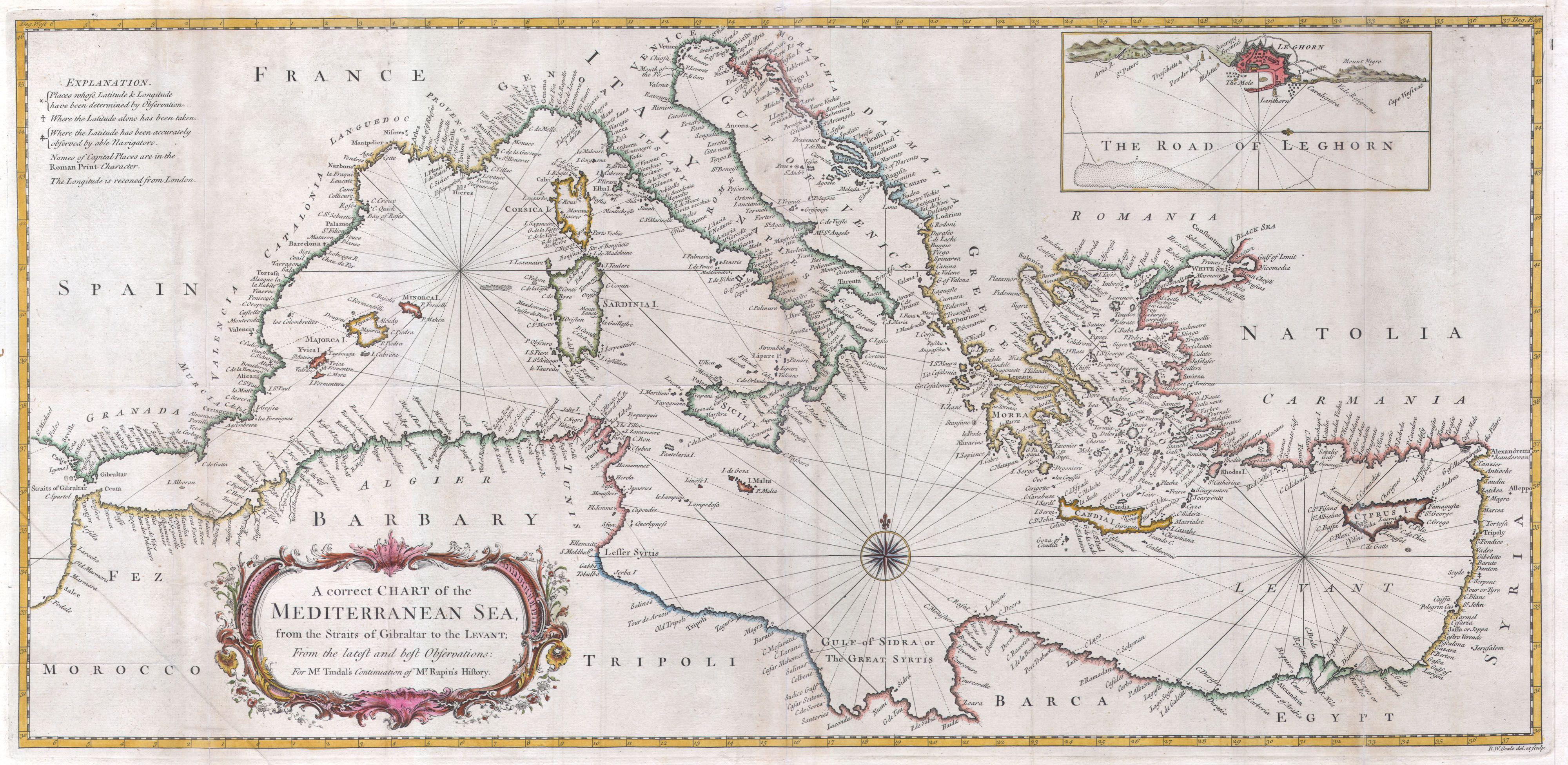
Keywords from Image Description:
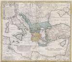
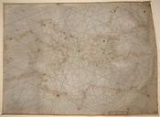
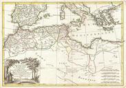
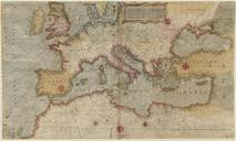
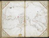
Seale Map or Chart of the Mediterranean Sea Geographicus Mediterraneanseale. large and attractive hand colored sea chart of the entire Mediterranean region Drawn in considerable detail with most ports clearly labeled Large title cartouche in the lower left quadrant Rumb lines throughout with decorative compass rose at center