
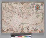
Related Images
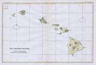
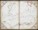
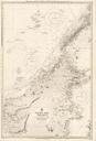

Download:
| Tiny | 83x128 | View | Download |
| Small | 166x256 | View | Download |
| Medium | 332x512 | View | Download |
| Large | 665x1024 | View | Download |
| Original | 3902x6000 | View | Download |
This image was acquired from
wikimedia. It was marked as Public Domain or CC0 and is free to use. To verify, go to the source and check the information there.
Looking for more info about this image?
Try a Google Reverse Image Search for it.
Try a Google Reverse Image Search for it.
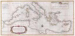
Keywords from Image Description:
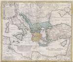
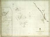
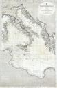
British Admiralty Chart or Map of the Mediterranean Sea Italy Corsica Greece Tunisia Geographicus MediterraneanSeaadmiralty. rare and extremely attractive nautical map of the central Mediterranean Sea issued in by the British Admiralty Covers from Corsica Sardinia and Tunisia eastward past Italy and Sicily to detail Greece and