
Related Images


Download:
| Tiny | 90x128 | View | Download |
| Small | 180x256 | View | Download |
| Medium | 360x512 | View | Download |
| Large | 721x1024 | View | Download |
| Original | 3500x4967 | View | Download |
This image was acquired from
wikimedia. It was marked as Public Domain or CC0 and is free to use. To verify, go to the source and check the information there.
Looking for more info about this image?
Try a Google Reverse Image Search for it.
Try a Google Reverse Image Search for it.
Keywords from Image Description:
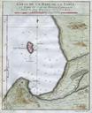
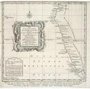
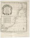
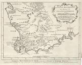
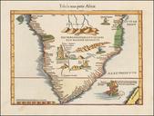
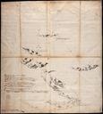
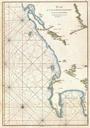
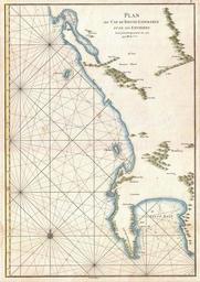
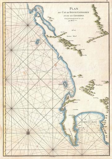
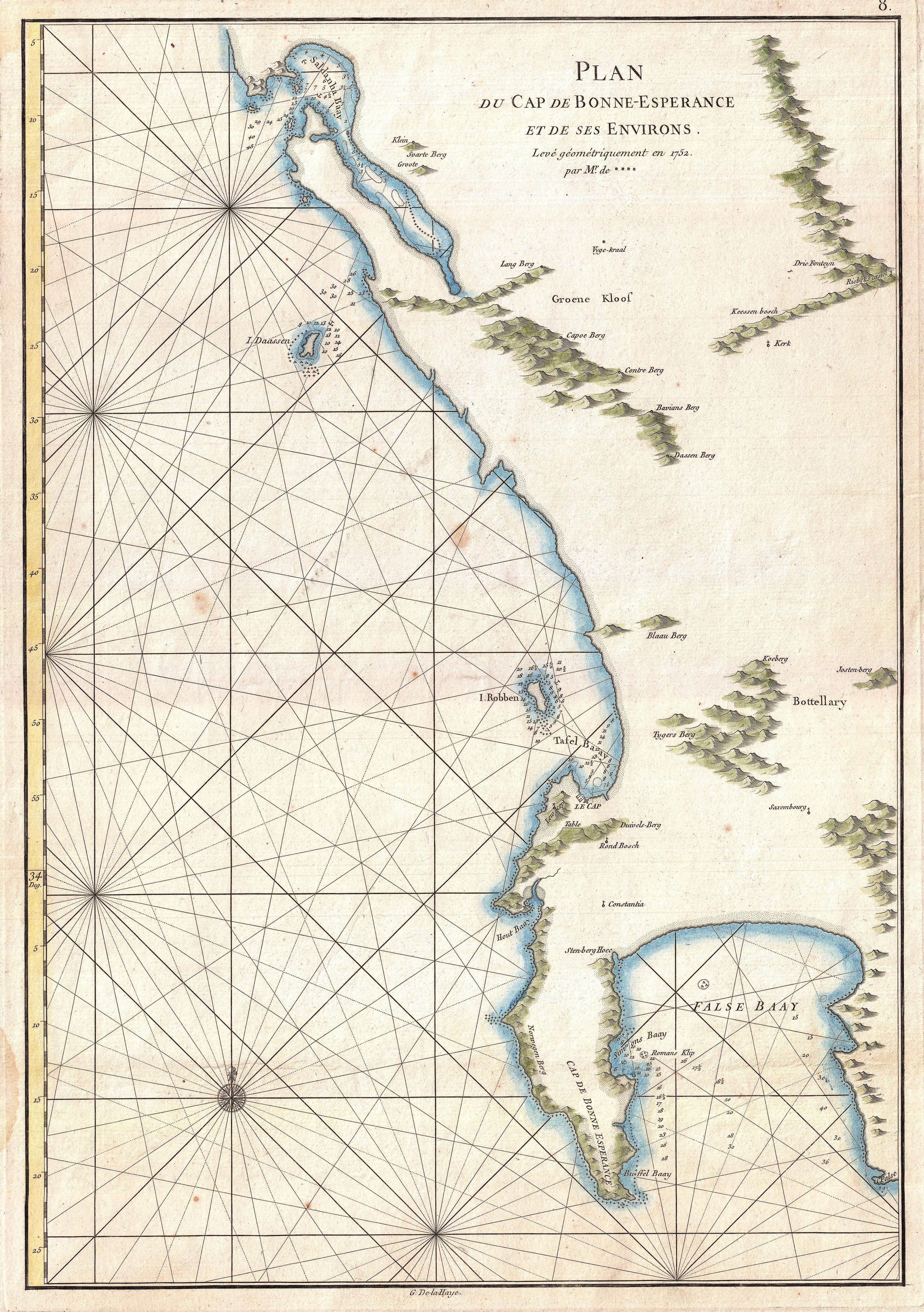
Mannevillette Map of the Cape of Good Hope South Africa Geographicus BonneEsperancemannevillette. This is very attractive nautical chart of the Cape of Good Hope and Cape Town region of South Africa This maritime map covers from False Bay past the Cape of Good Hope northwards past Cape Town and Isle Robben as far as Saldanha