Related Images

Download:
| Tiny | 189x128 | View | Download |
| Small | 378x256 | View | Download |
| Medium | 756x512 | View | Download |
| Large | 1512x1024 | View | Download |
| Original | 5000x3386 | View | Download |
This image was acquired from
wikimedia. It was marked as Public Domain or CC0 and is free to use. To verify, go to the source and check the information there.
Looking for more info about this image?
Try a Google Reverse Image Search for it.
Try a Google Reverse Image Search for it.
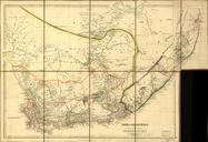
Keywords from Image Description:
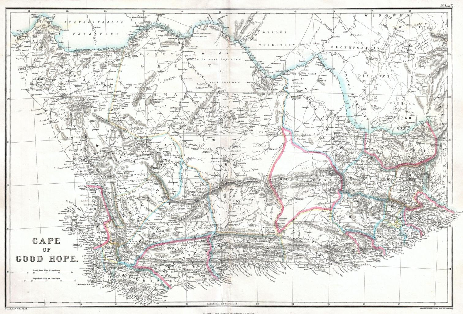
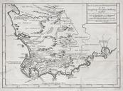
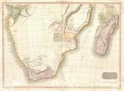
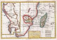
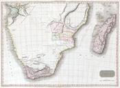
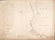
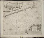
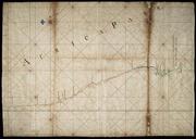
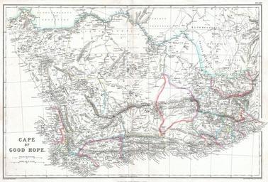
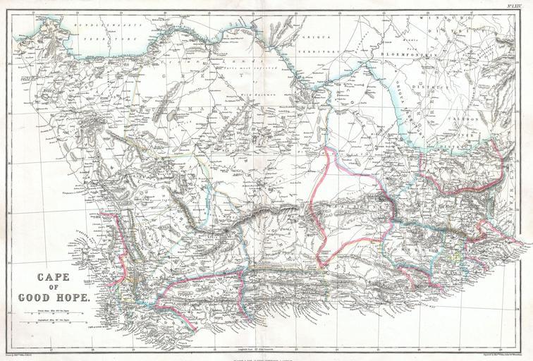
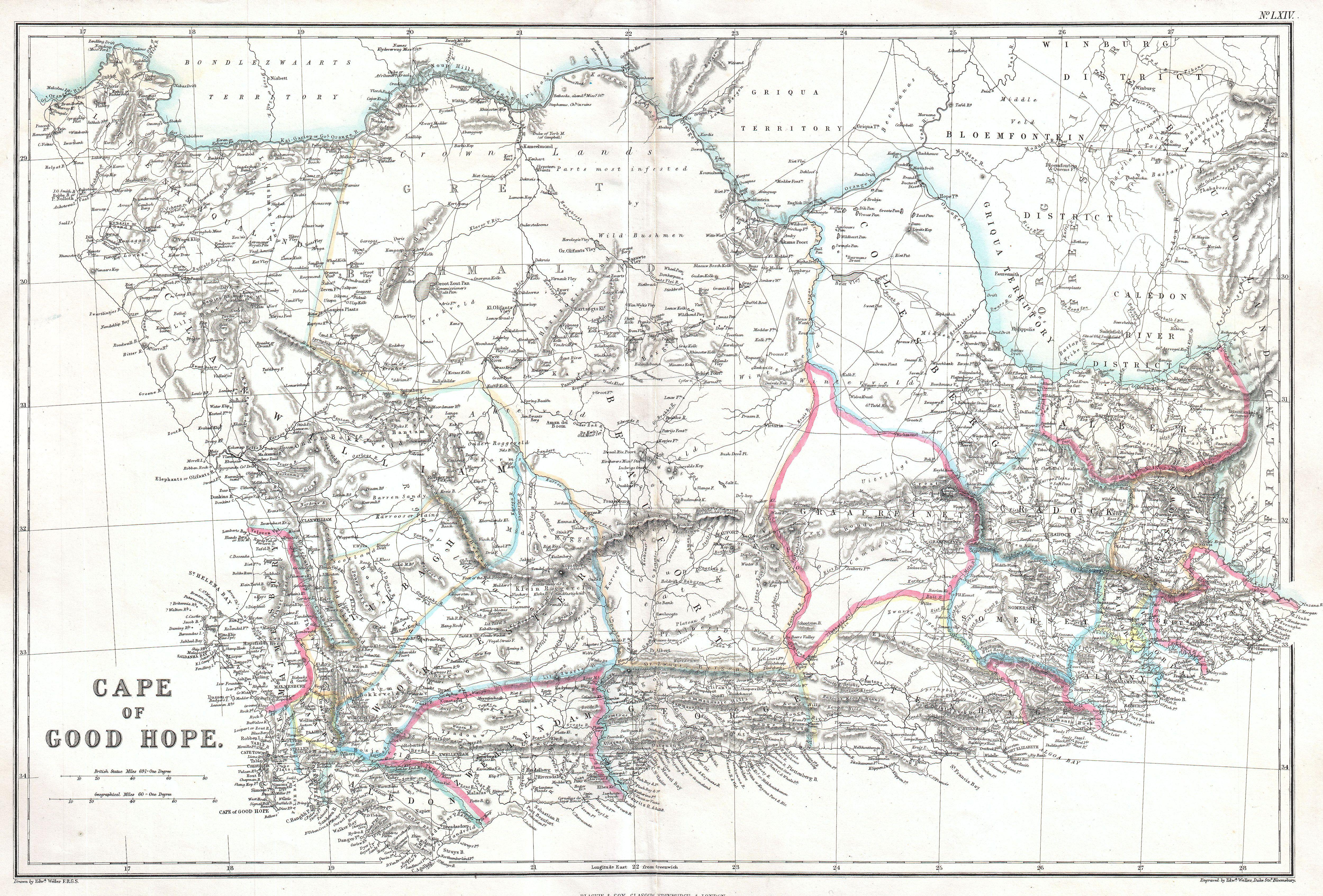
Blackie Map of the Cape of Good Hope Geographicus CapeofGoodHopeblackie. An extremely attractive of South Africa and the Cape of Good Hope Covers much of the southern top of Africa from Helena Bay and the Cape of Good Hope to Kaffir Land in the east This highly detailed map is most likely based on Edward Weller map of the same