Related Images
Download:
| Tiny | 87x128 | View | Download |
| Small | 175x256 | View | Download |
| Medium | 350x512 | View | Download |
| Large | 700x1024 | View | Download |
| Original | 2000x2924 | View | Download |
This image was acquired from
wikimedia. It was marked as Public Domain or CC0 and is free to use. To verify, go to the source and check the information there.
Looking for more info about this image?
Try a Google Reverse Image Search for it.
Try a Google Reverse Image Search for it.
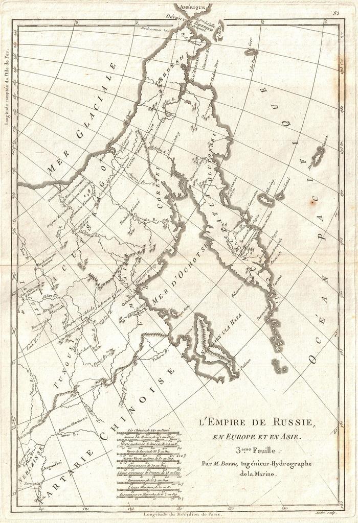
Keywords from Image Description:
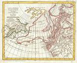
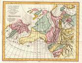
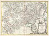
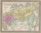
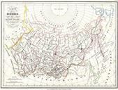
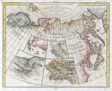
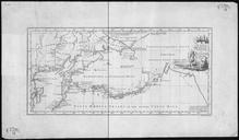
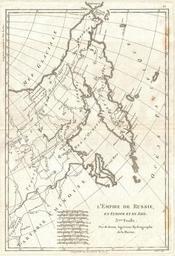
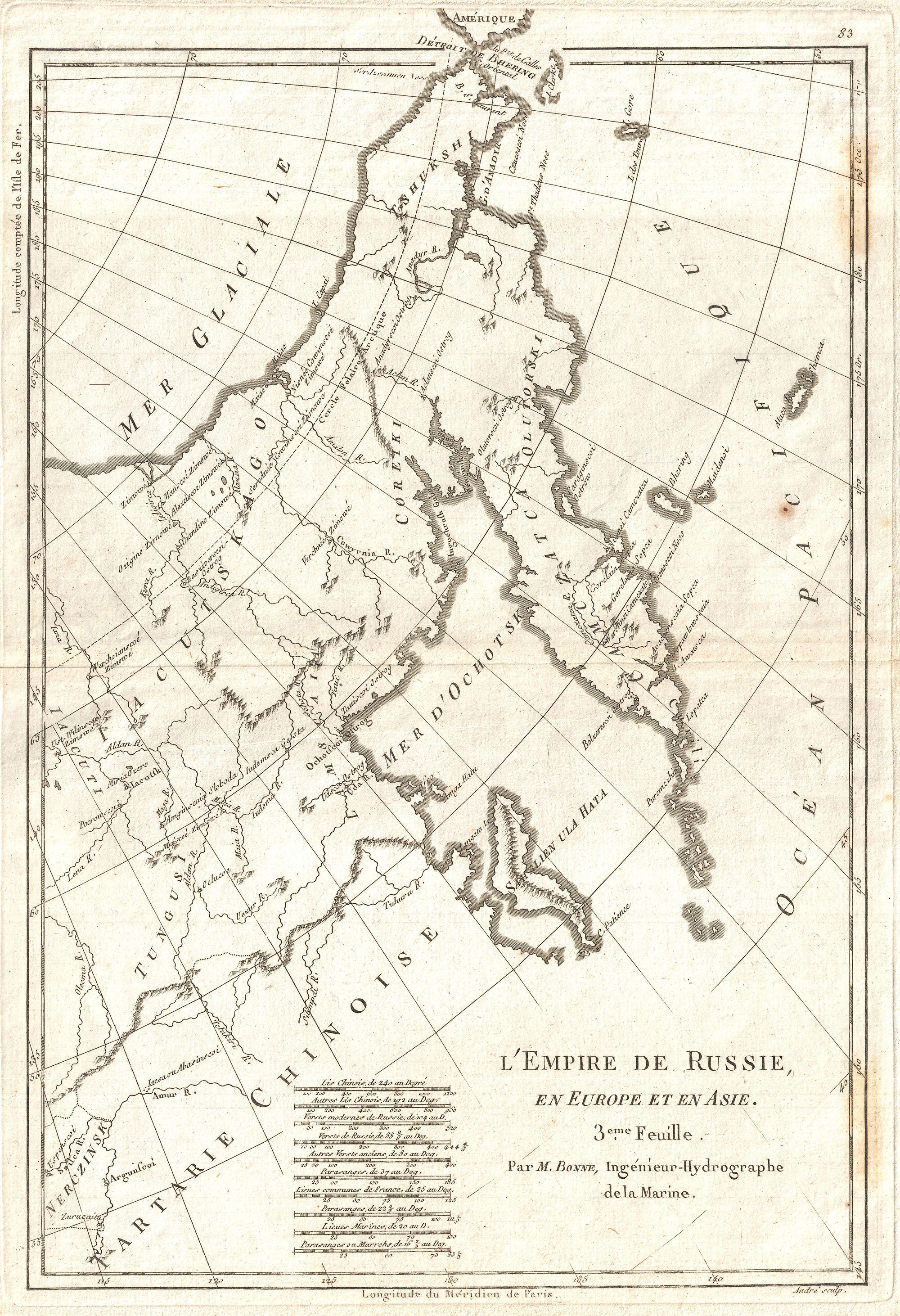
Bellin Map of Eastern Russia Tartary and the Bering Strait Geographicus EmpireRussiebonne. An attractive example of Bonne map of Eastern Russia Tartary and Siberia Covers from Nerczinsk and Chinese Tartary north to the Arctic and eastward as far as Alaska Focuses on Siberia showing various villages fortifications trading stations