
Related Images


Download:
| Tiny | 176x128 | View | Download |
| Small | 352x256 | View | Download |
| Medium | 705x512 | View | Download |
| Large | 1411x1024 | View | Download |
| Original | 4000x2902 | View | Download |
This image was acquired from
wikimedia. It was marked as Public Domain or CC0 and is free to use. To verify, go to the source and check the information there.
Looking for more info about this image?
Try a Google Reverse Image Search for it.
Try a Google Reverse Image Search for it.
Keywords from Image Description:
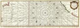
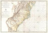
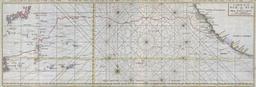
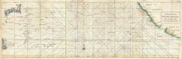
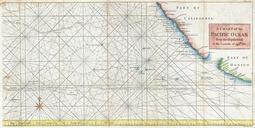
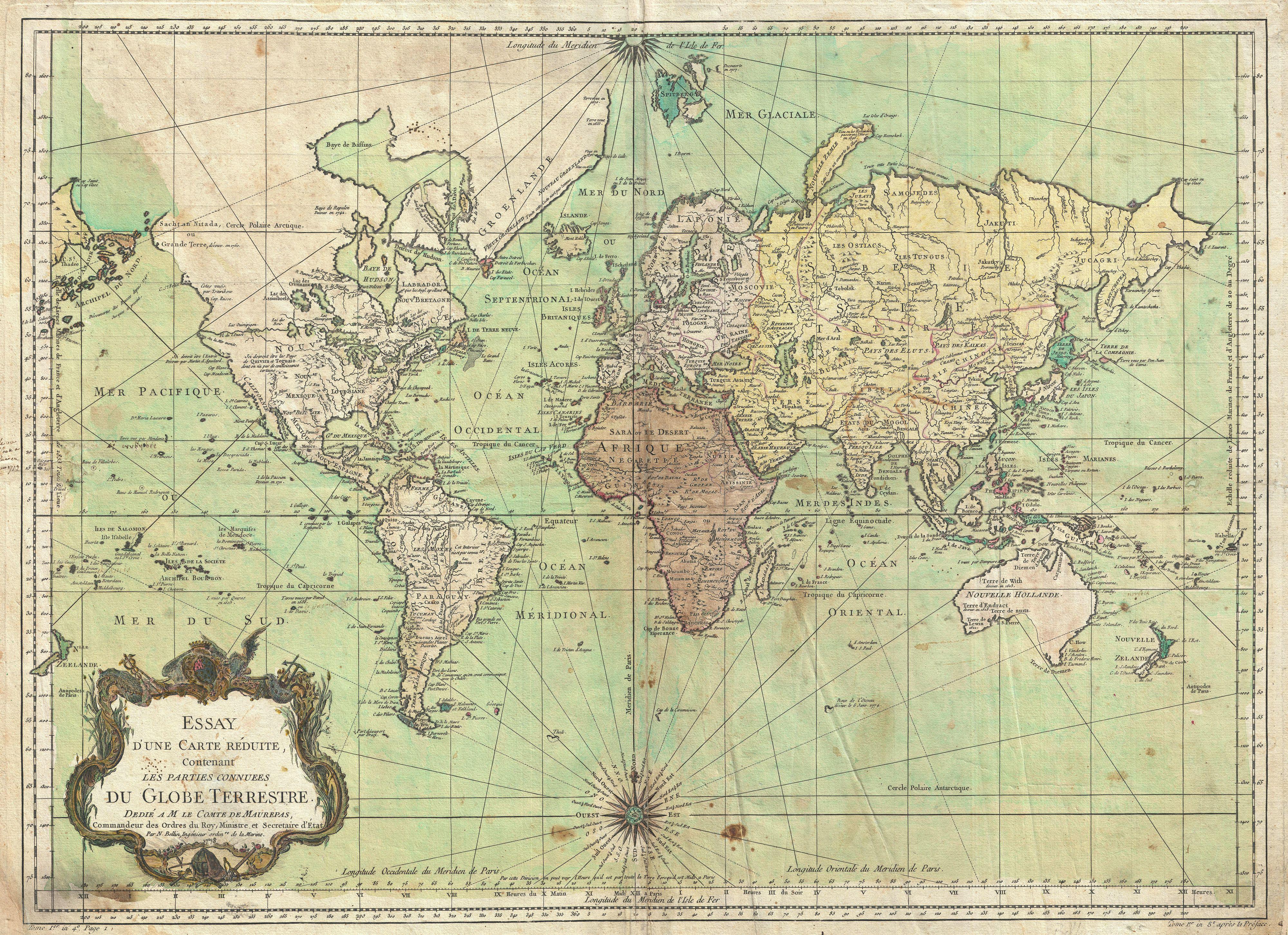
Bellin Nautical Chart or Map of the World Geographicus Worldbellin. An attractive first edition first state example of Bellin nautical chart of the world Presents the entire world on Mercator Projection based on Paris Isle de Fer meridian This is notably the first state of this important map exhibiting preCook geography throughout