
Related Images


Download:
| Tiny | 140x128 | View | Download |
| Small | 280x256 | View | Download |
| Medium | 561x512 | View | Download |
| Large | 1122x1024 | View | Download |
| Original | 3000x2737 | View | Download |
This image was acquired from
wikimedia. It was marked as Public Domain or CC0 and is free to use. To verify, go to the source and check the information there.
Looking for more info about this image?
Try a Google Reverse Image Search for it.
Try a Google Reverse Image Search for it.
Keywords from Image Description:
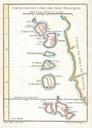
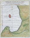
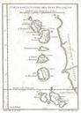
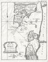
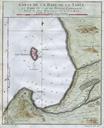
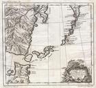
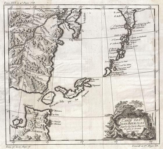
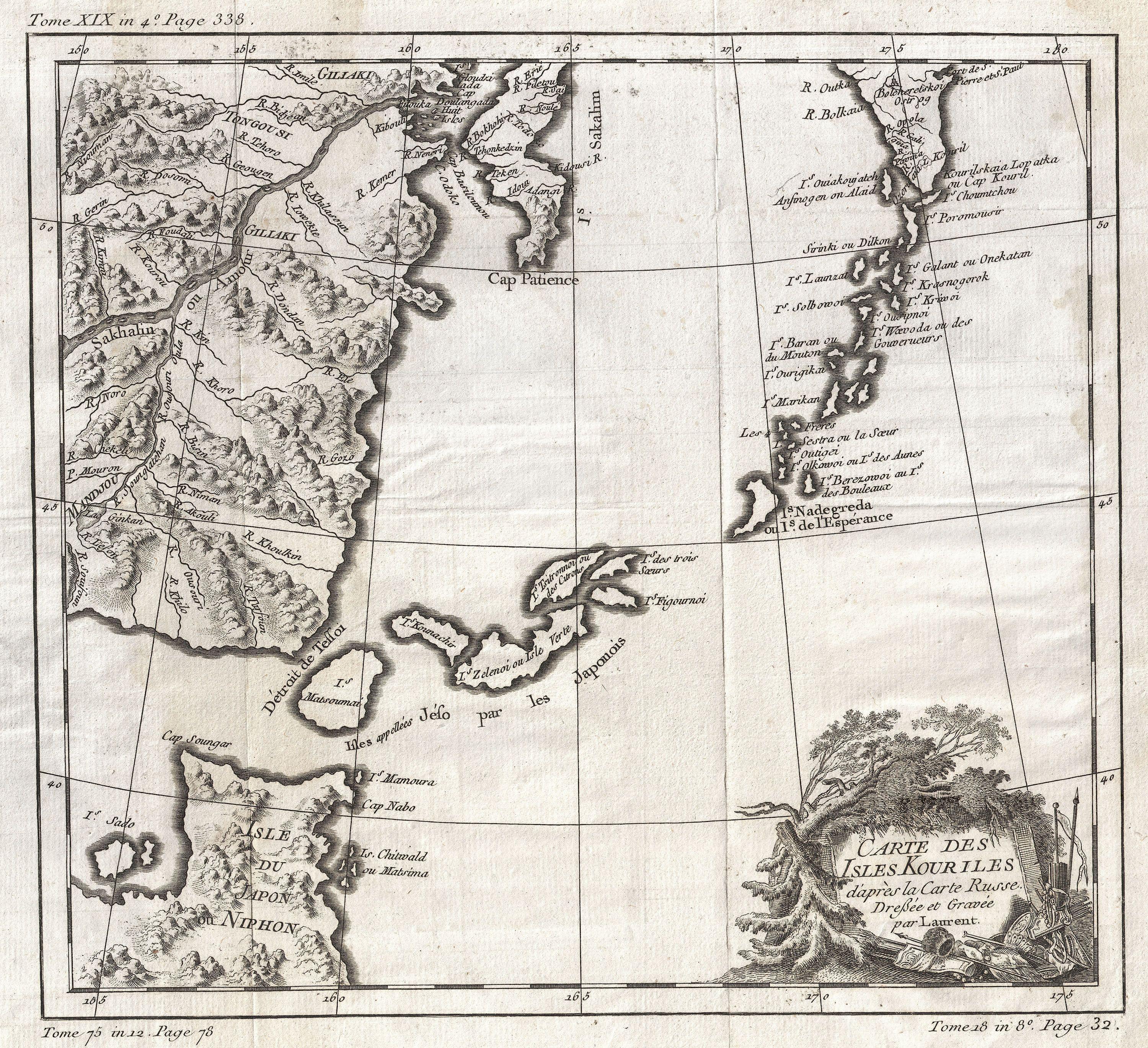
Bellin Map of the Kuril Islands Geographicus Kourilesbellin. beautiful example of Bellin's map of the Kuril Islands The Kuril Islands or Kurile Islands are volcanic archipelago that stretches approximately km mi northeast from Hokkaido Japan to Kamchatka Russia separating the Sea of Okhotsk from the North Pacific Ocean Traditionally