
Related Images


Download:
| Tiny | 182x128 | View | Download |
| Small | 364x256 | View | Download |
| Medium | 728x512 | View | Download |
| Original png | 1062x746 | View | Download |
| Original as jpg | 1062x746 | View | Download |
This image was acquired from
wikimedia. It was marked as Public Domain or CC0 and is free to use. To verify, go to the source and check the information there.
Looking for more info about this image?
Try a Google Reverse Image Search for it.
Try a Google Reverse Image Search for it.
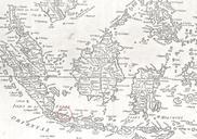
Keywords from Image Description:
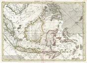
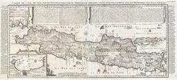
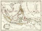
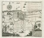
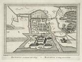
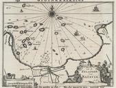
Batavia map detail byJohnLodge BostonPublicLibrary . Detail of The archipelago of the East being the Sunda the Molucca and Phillipps Islands he chief settlements of the Dutch in India are in the Sunda and Molucca Islands Author Lodge John Publisher Bew John Date Location Indonesia Malaysia Philippines Dimension cm Scale ca Call