
Related Images

Download:
| Tiny | 214x128 | View | Download |
| Small | 428x256 | View | Download |
| Medium | 857x512 | View | Download |
| Large | 1714x1024 | View | Download |
| Original | 5000x2986 | View | Download |
This image was acquired from
wikimedia. It was marked as Public Domain or CC0 and is free to use. To verify, go to the source and check the information there.
Looking for more info about this image?
Try a Google Reverse Image Search for it.
Try a Google Reverse Image Search for it.
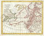
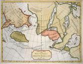
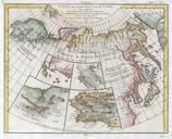
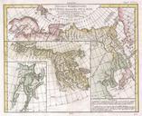
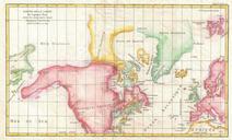
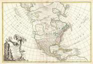
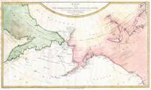
Keywords from Image Description:
Schraembl Map of the Northwest Passage Alaska Pacific Northwest Geographicus NorthwestPassageschraembl. rare German language variant of Cook map of his explorations along the northwest coast of America and the northeast coast of Asia Based upon original work by Cook cartographer Henry Roberts Depicts much of Siberia and Kamtschaka