Download:
| Tiny | 212x128 | View | Download |
| Small | 424x256 | View | Download |
| Medium | 848x512 | View | Download |
| Large | 1696x1024 | View | Download |
| Original | 3500x2113 | View | Download |
This image was acquired from
wikimedia. It was marked as Public Domain or CC0 and is free to use. To verify, go to the source and check the information there.
Looking for more info about this image?
Try a Google Reverse Image Search for it.
Try a Google Reverse Image Search for it.
Keywords from Image Description:
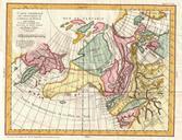
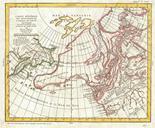
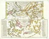
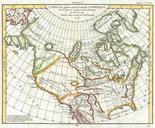
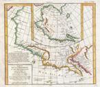
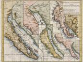
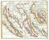
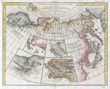
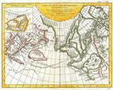
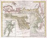
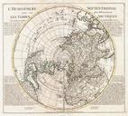
Vaugondy and Diderot Map the North America illustrating Cluny's Voyages Geographicus NorthAmericaClunyvaugondy. very interesting map of North America and Greenland with adjacent parts of Europe and Asia This map was drawn by Vaugondy to illustrate the mythical voyage of Captain Cluny Depicts North America from above the Arctic

