Related Images


Download:
| Tiny | 201x128 | View | Download |
| Small | 403x256 | View | Download |
| Medium | 806x512 | View | Download |
| Original | 882x560 | View | Download |
This image was acquired from
wikimedia. It was marked as Public Domain or CC0 and is free to use. To verify, go to the source and check the information there.
Looking for more info about this image?
Try a Google Reverse Image Search for it.
Try a Google Reverse Image Search for it.
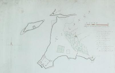
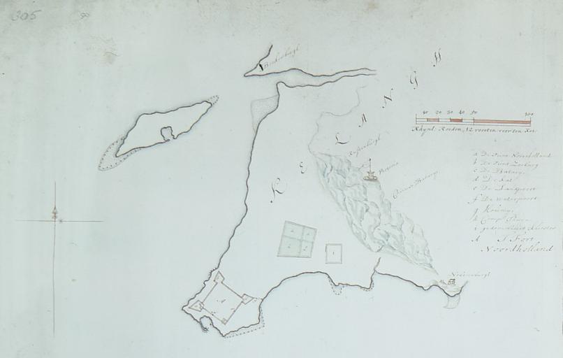
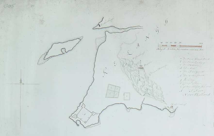
Keywords from Image Description:
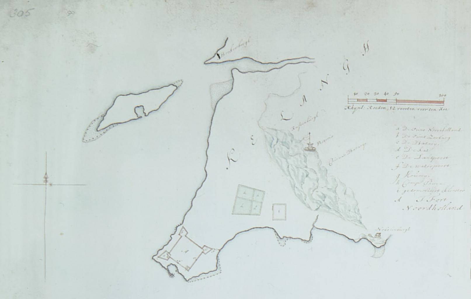
th century Keelung map. en Map of Keelung late th century reproduction of midth century original When Taiwan Became Chinese by Tonio Andrade Isaac de Graaf Dutch Formosa Maps of Keelung PDold Isaak de Graaf