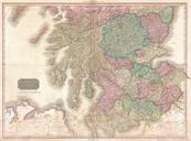
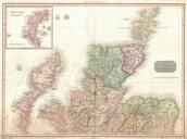
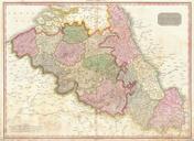
Related Images


Download:
| Tiny | 176x128 | View | Download |
| Small | 352x256 | View | Download |
| Medium | 704x512 | View | Download |
| Large | 1409x1024 | View | Download |
| Original | 5000x3632 | View | Download |
This image was acquired from
wikimedia. It was marked as Public Domain or CC0 and is free to use. To verify, go to the source and check the information there.
Looking for more info about this image?
Try a Google Reverse Image Search for it.
Try a Google Reverse Image Search for it.
Keywords from Image Description:
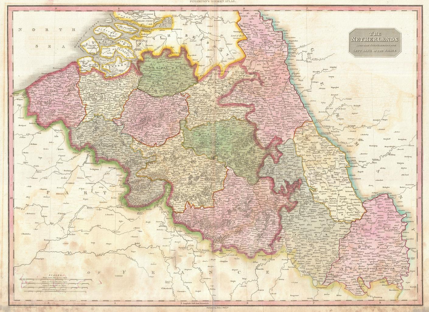
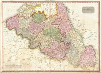
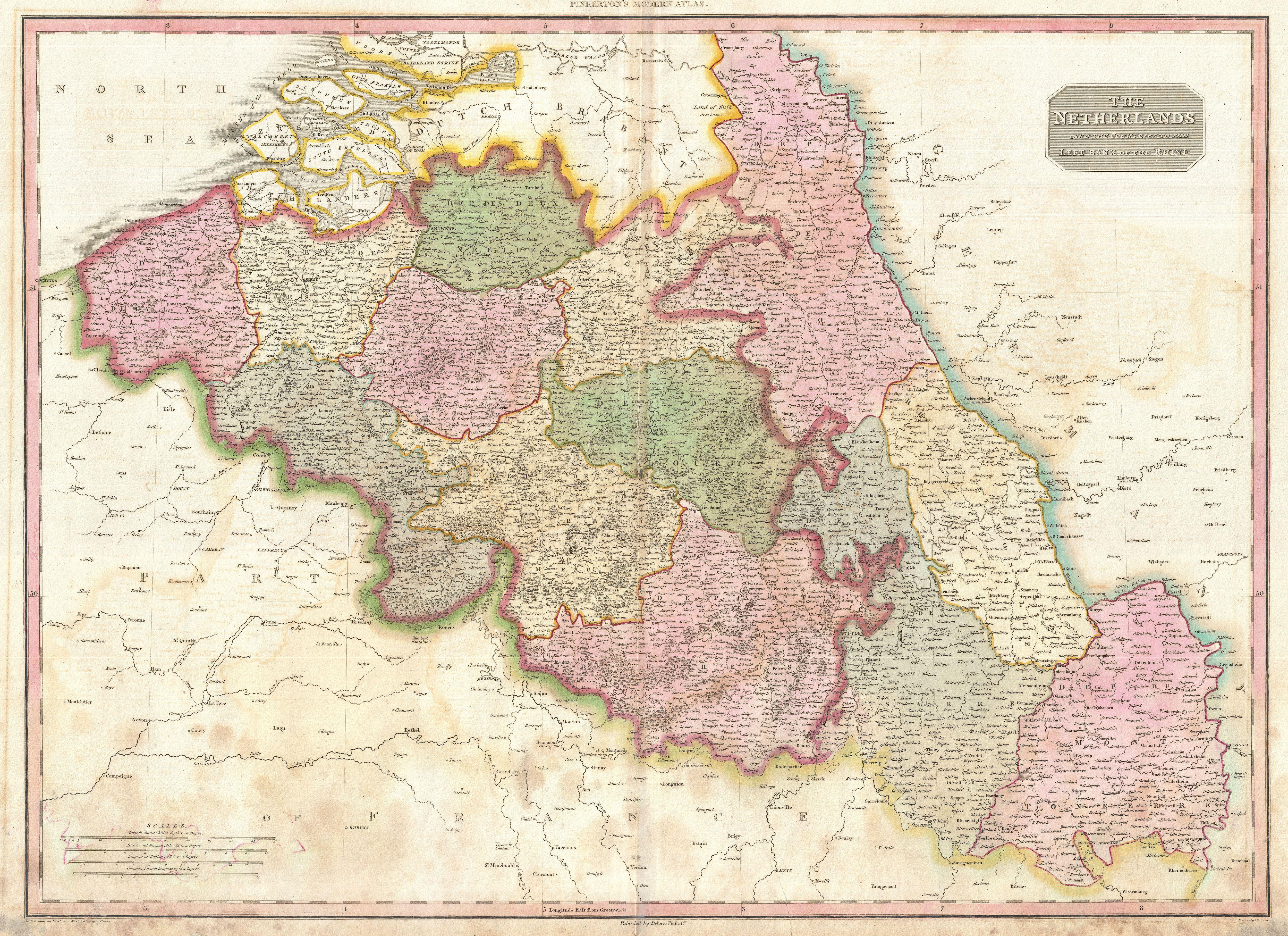
Pinkerton Map of Beligum Geographicus Belgiumpinkerton. Pinkerton's extraordinary map of Belgium Covers what is essentially today's Belgium between the Dutch Brabant and France When this map was drawn this area was united with what is today Holland under Napoleon and the French Empire Later the southern parts of the Netherlands