Related Images


Download:
| Tiny | 93x128 | View | Download |
| Small | 186x256 | View | Download |
| Medium | 373x512 | View | Download |
| Large | 746x1024 | View | Download |
| Original | 3645x5000 | View | Download |
This image was acquired from
wikimedia. It was marked as Public Domain or CC0 and is free to use. To verify, go to the source and check the information there.
Looking for more info about this image?
Try a Google Reverse Image Search for it.
Try a Google Reverse Image Search for it.
Keywords from Image Description:
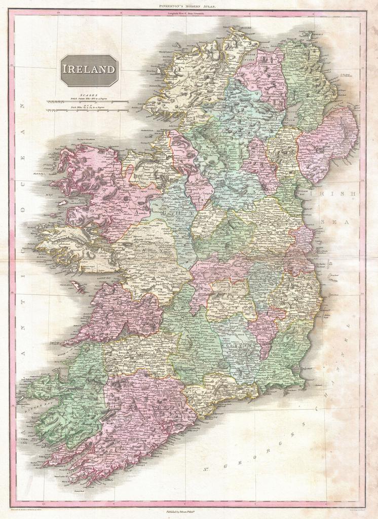
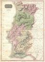
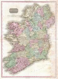
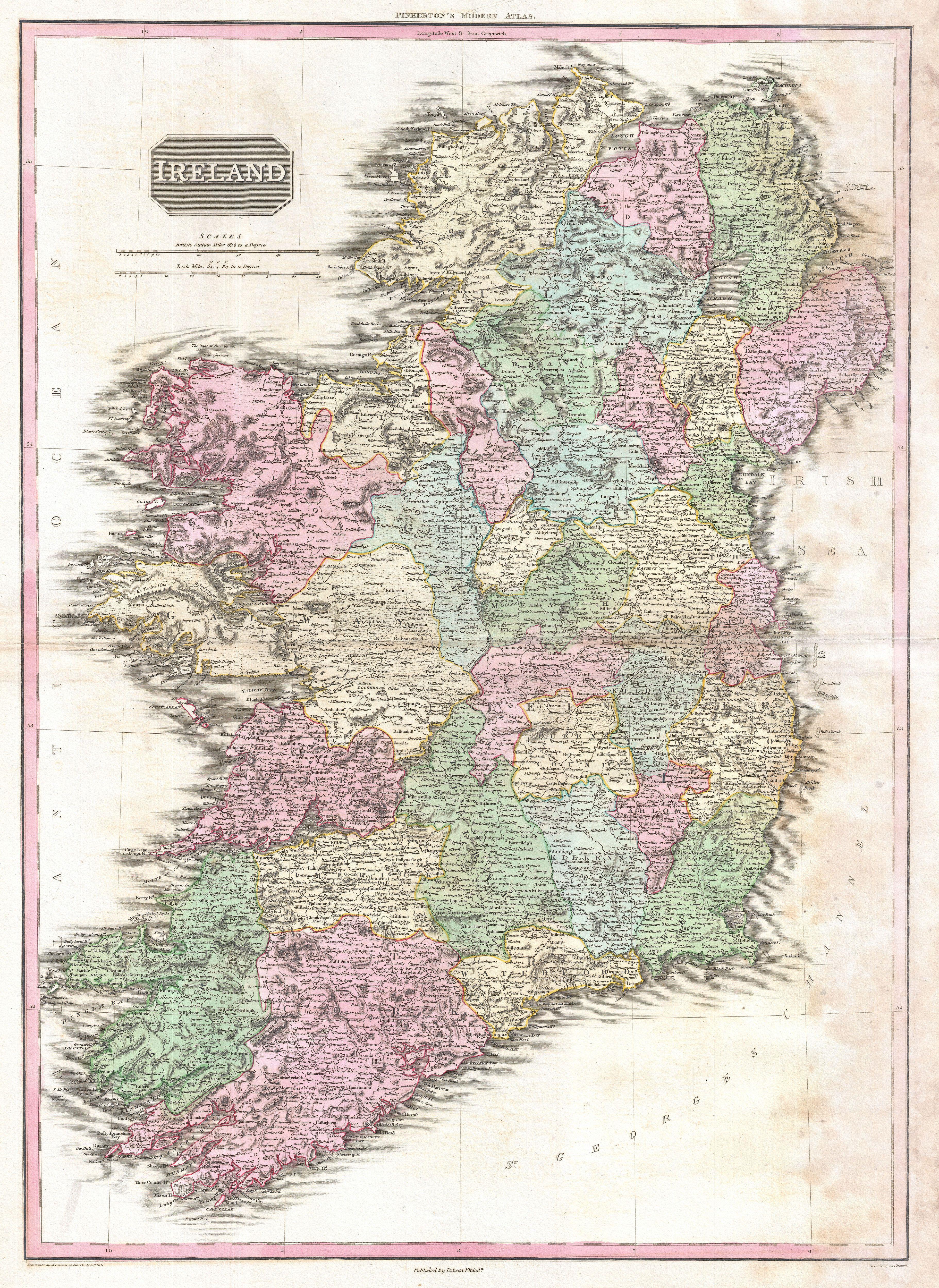
Pinkerton Map of Ireland Geographicus Irelandpinkerton. John Pinkerton's highly decorative map of Ireland published Covers the entire Emerald Isle in considerable detail with political divisions and color coding at the county level Identifies cities towns castles important battle sites castles swamps mountains and undersea dangers