
Related Images


Download:
| Tiny | 175x128 | View | Download |
| Small | 350x256 | View | Download |
| Medium | 700x512 | View | Download |
| Large | 1401x1024 | View | Download |
| Original | 5000x3653 | View | Download |
This image was acquired from
wikimedia. It was marked as Public Domain or CC0 and is free to use. To verify, go to the source and check the information there.
Looking for more info about this image?
Try a Google Reverse Image Search for it.
Try a Google Reverse Image Search for it.
Keywords from Image Description:
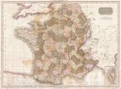
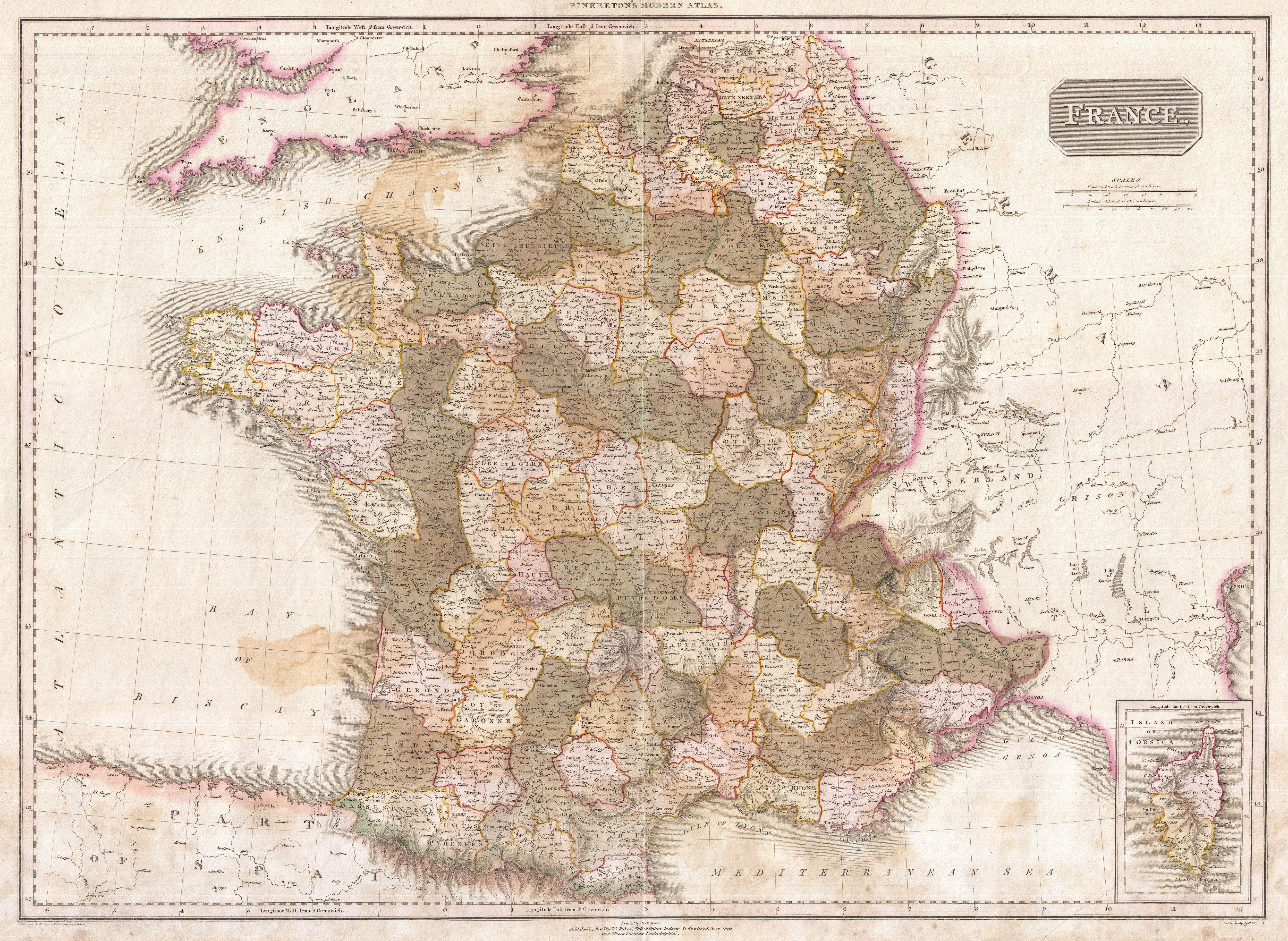
Pinkerton Map of France Geographicus Francepinkerton. Pinkerton's extraordinary map of France Covers the entire country from the Bay of Biscay to the English Channel to the Mediterranean to the borders with Switzerland and Germany Drawn shortly after the Napoleonic Wars Divided according to departments An inset of Corsica appears