
Related Images


Download:
| Tiny | 191x128 | View | Download |
| Small | 382x256 | View | Download |
| Medium | 764x512 | View | Download |
| Large | 1528x1024 | View | Download |
| Original | 7721x5171 | View | Download |
This image was acquired from
wikimedia. It was marked as Public Domain or CC0 and is free to use. To verify, go to the source and check the information there.
Looking for more info about this image?
Try a Google Reverse Image Search for it.
Try a Google Reverse Image Search for it.
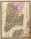
Keywords from Image Description:
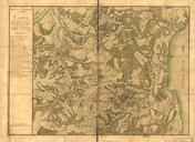
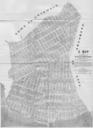
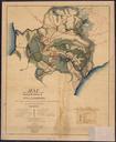
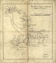
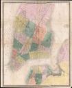
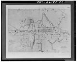
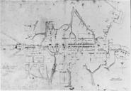
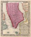
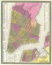
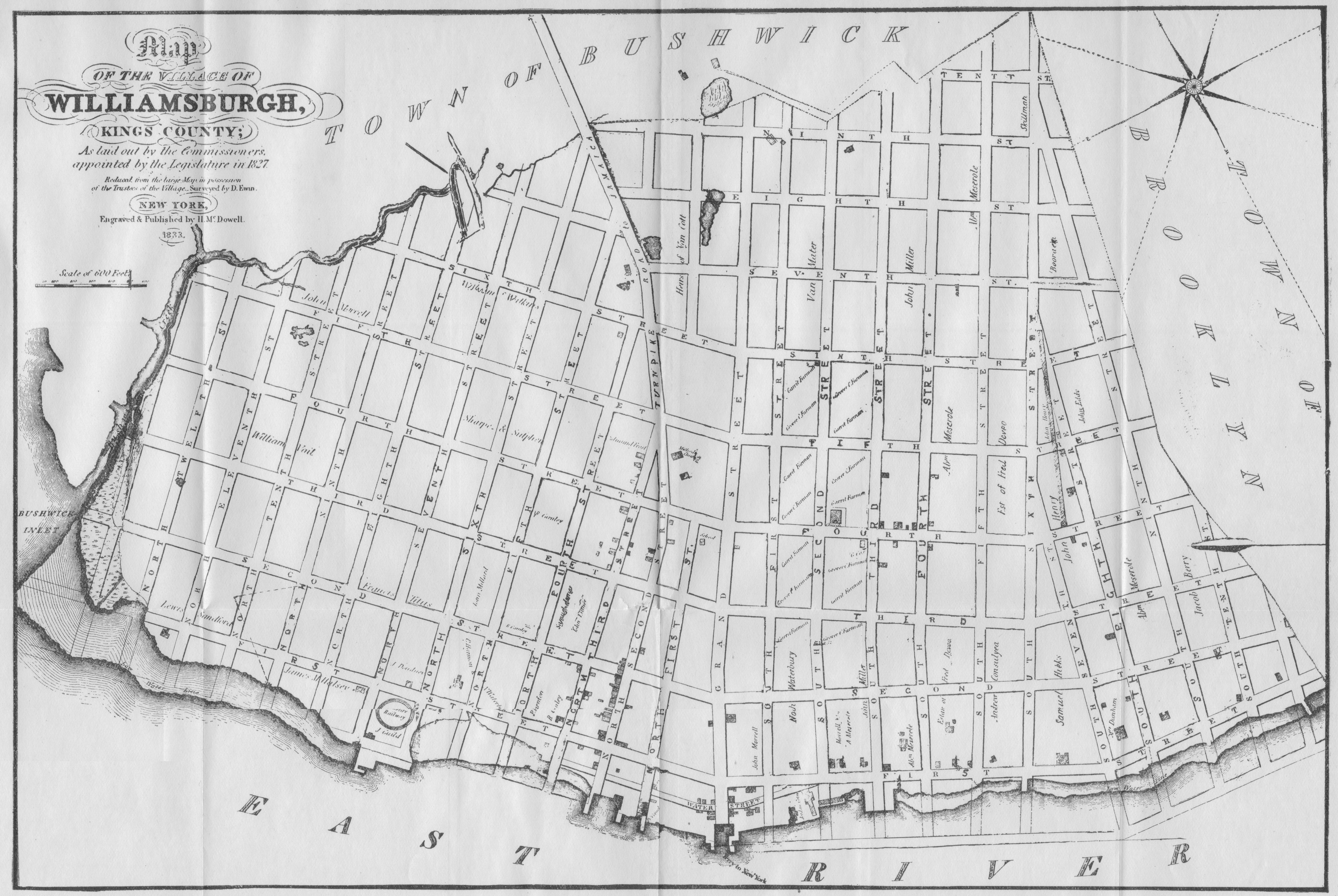
Williamsburg Map. en Map of the Village of Williamsburgh Kings County As laid out by the Commissioners appointed by the Legislature in Reduced from the large Map in the possession of the Trustees of the Village Surveyed by Ewin New York Engraved Published by McDowell The Bushwick Creek which originally separated Williamsburg from