Related Images


Download:
| Tiny | 106x128 | View | Download |
| Small | 213x256 | View | Download |
| Medium | 427x512 | View | Download |
| Large | 855x1024 | View | Download |
| Original | 2924x3500 | View | Download |
This image was acquired from
wikimedia. It was marked as Public Domain or CC0 and is free to use. To verify, go to the source and check the information there.
Looking for more info about this image?
Try a Google Reverse Image Search for it.
Try a Google Reverse Image Search for it.
Keywords from Image Description:
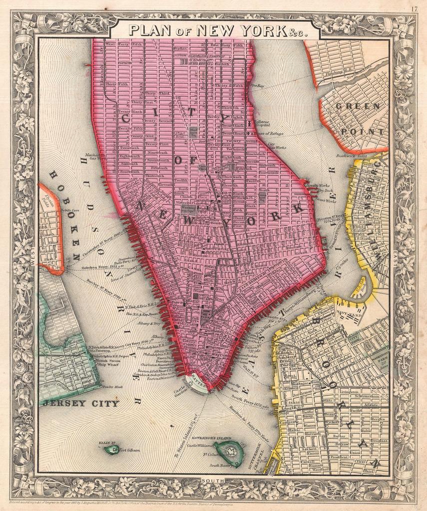
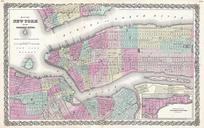
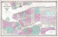
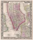
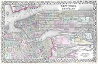
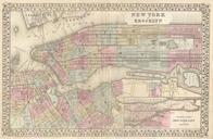
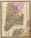
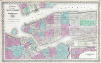
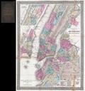
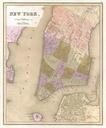
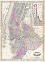
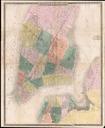
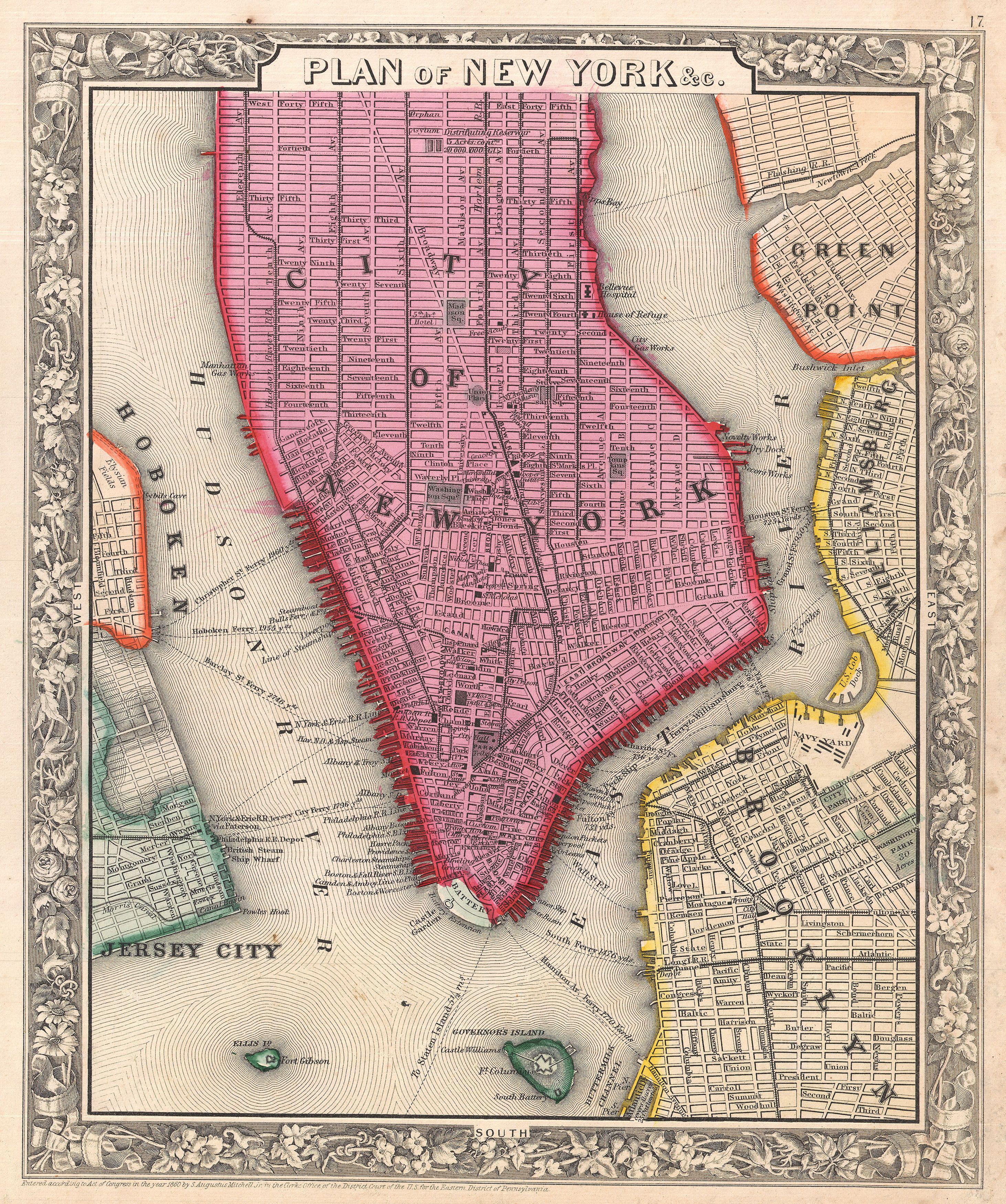
Mitchell Map of New York City New York first edition Geographicus NYCmitchell. beautiful example of the first edition of Mitchell map of New York City Depicts New York City along with parts of Brooklyn Williamsburg Greenpoint Hoboken and Jersey City Offers wonderful detail at the street level including references to parks individual