
Related Images


Download:
| Tiny | 104x128 | View | Download |
| Small | 208x256 | View | Download |
| Medium | 416x512 | View | Download |
| Large | 833x1024 | View | Download |
| Original | 3256x4000 | View | Download |
This image was acquired from
wikimedia. It was marked as Public Domain or CC0 and is free to use. To verify, go to the source and check the information there.
Looking for more info about this image?
Try a Google Reverse Image Search for it.
Try a Google Reverse Image Search for it.
Keywords from Image Description:
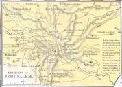
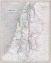
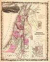
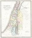
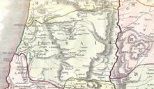
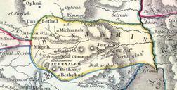
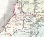
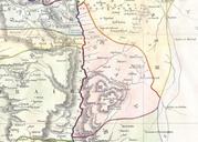
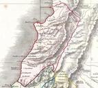
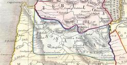
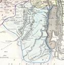
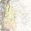
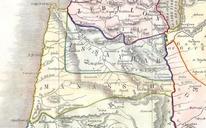
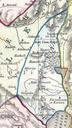
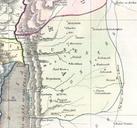
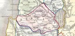
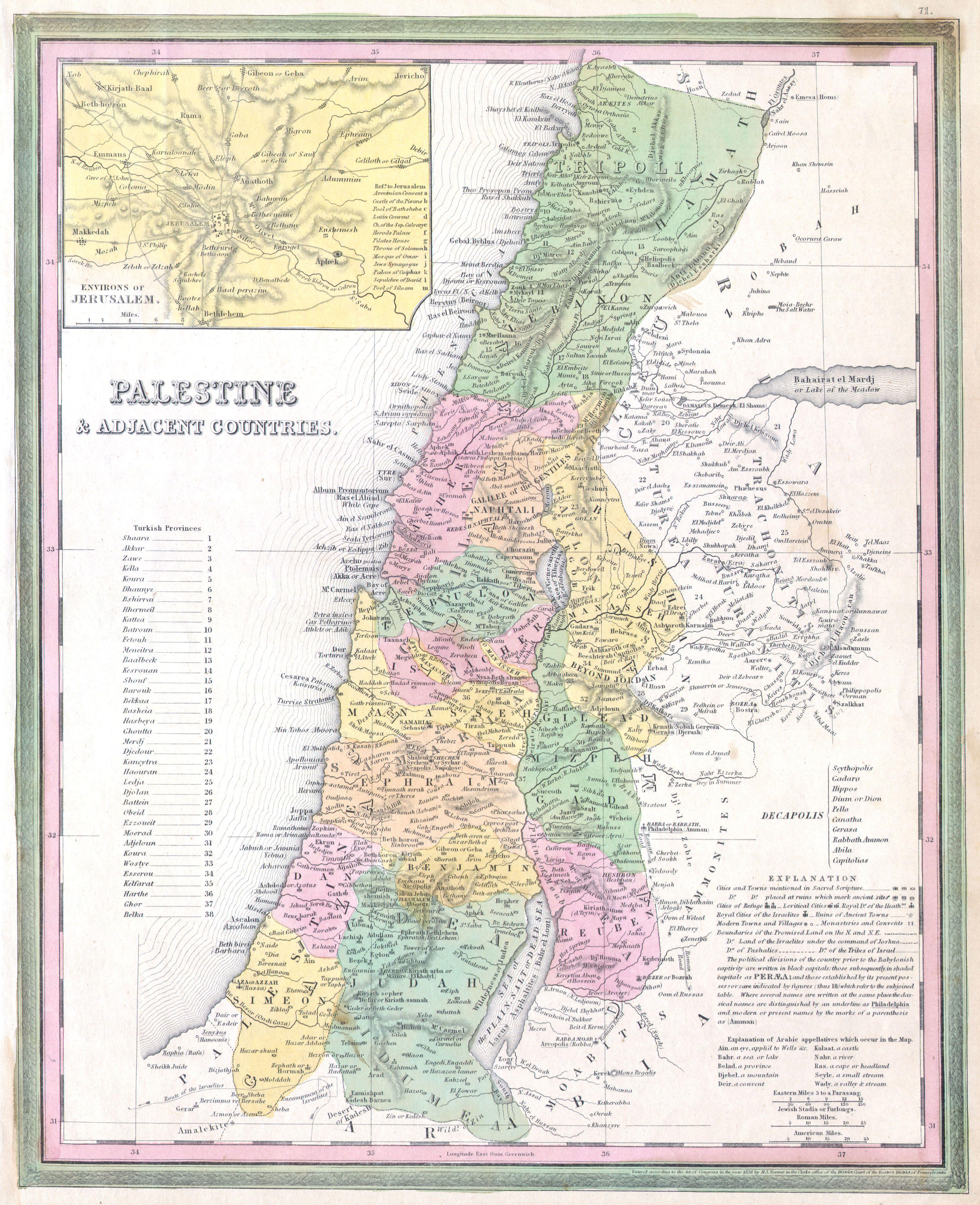
Tanner Map of Palestine Israel Holy Land Geographicus Palestinetanner. fine and rare Mitchell map depicting Palestine Israel or the Holy Land Includes From Gaza North as far as modern day Lebanon The regions claimed by the various tribes of Israel are noted In the upper right there is an inset map of the Environs of Jerusalem