
Related Images


Download:
| Tiny | 108x128 | View | Download |
| Small | 216x256 | View | Download |
| Medium | 432x512 | View | Download |
| Large | 864x1024 | View | Download |
| Original | 3377x4000 | View | Download |
This image was acquired from
wikimedia. It was marked as Public Domain or CC0 and is free to use. To verify, go to the source and check the information there.
Looking for more info about this image?
Try a Google Reverse Image Search for it.
Try a Google Reverse Image Search for it.
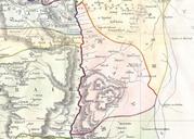
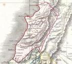
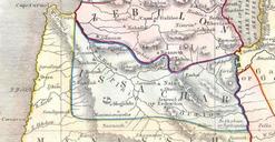
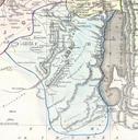
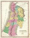
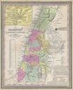
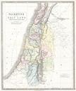
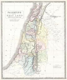
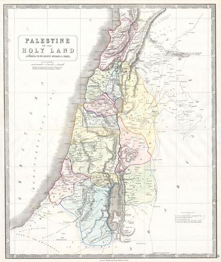
Keywords from Image Description:
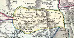
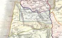
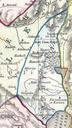
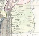
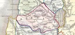
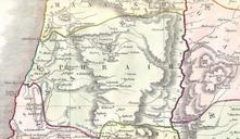
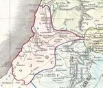
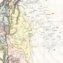
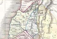
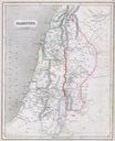
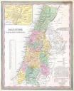
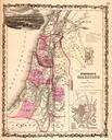
Philip Map of Palestine Israel Holy Land Geographicus Palestinephilip. This beautiful hand colored map is steel plate engraving of Israel Palestine or the Holy Land Depicts the region as it would have been during the period of the Twelve Tribes of Israel There are numerous notations referencing well caravan routes and Biblical