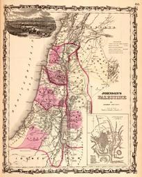
Related Images


Download:
| Tiny | 102x128 | View | Download |
| Small | 205x256 | View | Download |
| Medium | 410x512 | View | Download |
| Large | 820x1024 | View | Download |
| Original | 3948x4926 | View | Download |
This image was acquired from
wikimedia. It was marked as Public Domain or CC0 and is free to use. To verify, go to the source and check the information there.
Looking for more info about this image?
Try a Google Reverse Image Search for it.
Try a Google Reverse Image Search for it.
Keywords from Image Description:
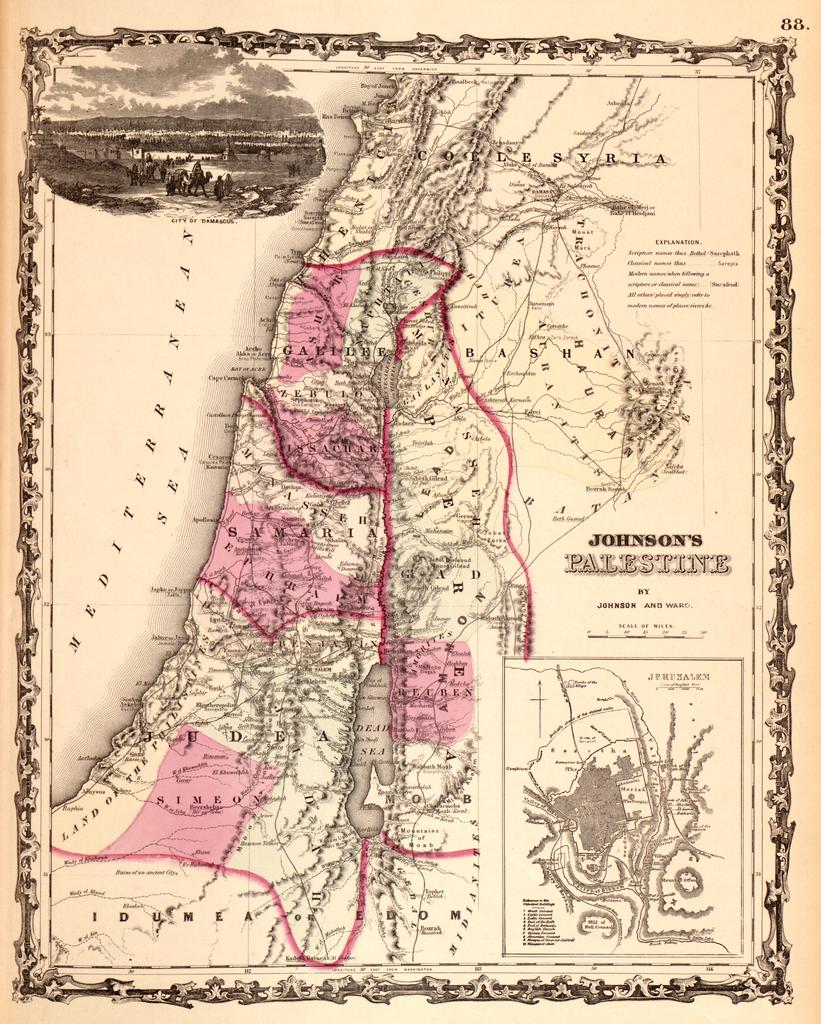
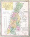
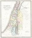
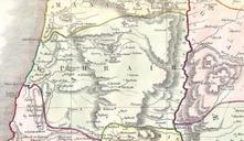
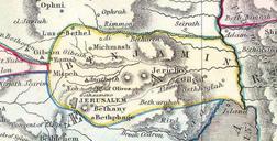
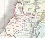
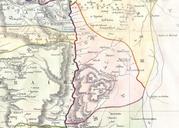
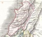
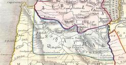
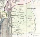
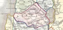
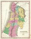
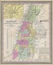
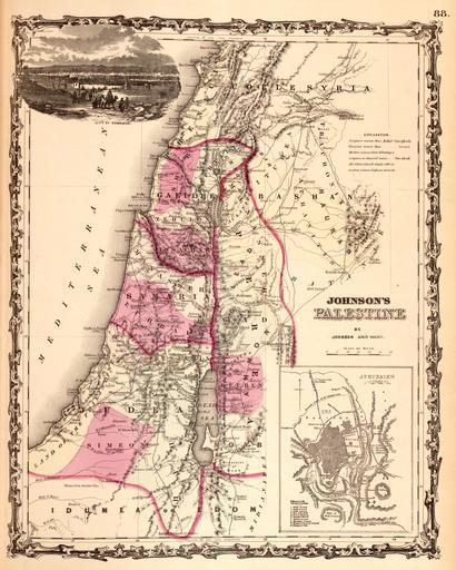
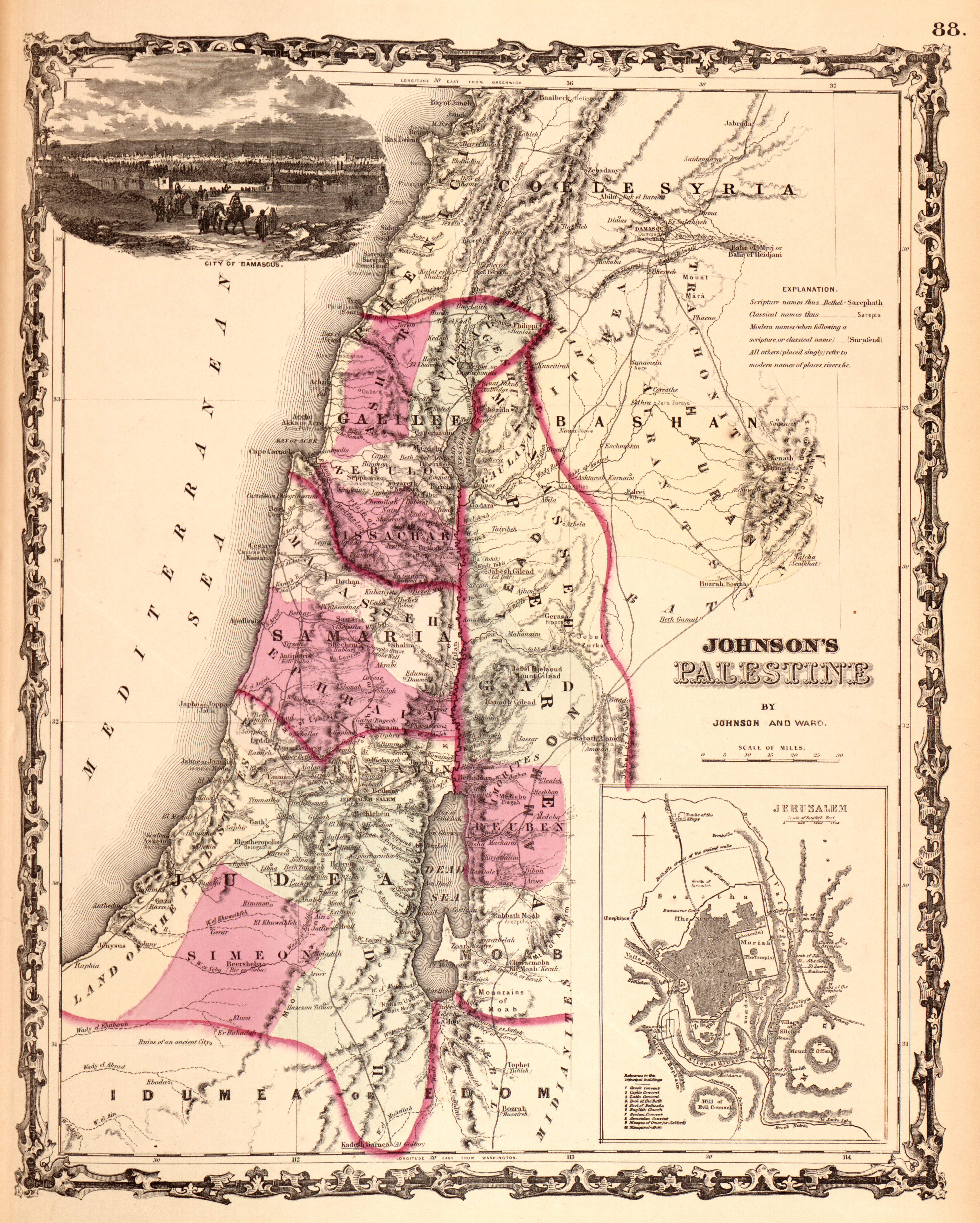
Johnson Map of Palestine Israel Holy Land Geographicus Palestinejohnson. beautiful example of Johnson map of Palestine Israel Holy Land Details the region from Beirut south to Busaireh and Kadesh Barnea Extends eastward as far as Mount Alsadamus in modern day Syria Offers both contemporary and ancient geography often noting