Related Images
Download:
| Tiny | 160x128 | View | Download |
| Small | 320x256 | View | Download |
| Medium | 640x512 | View | Download |
| Large | 1280x1024 | View | Download |
| Original | 2750x2200 | View | Download |
This image was acquired from
wikimedia. It was marked as Public Domain or CC0 and is free to use. To verify, go to the source and check the information there.
Looking for more info about this image?
Try a Google Reverse Image Search for it.
Try a Google Reverse Image Search for it.
Keywords from Image Description:
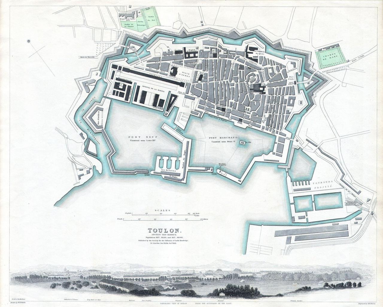
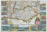
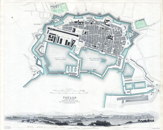
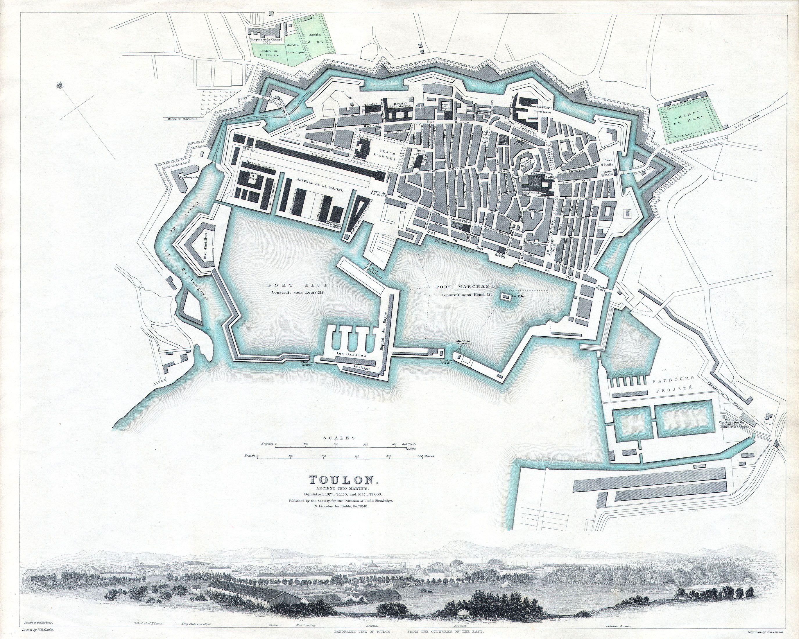
S.D.U.K. Map or City Plan of Toulon France Geographicus TulonSDUK. This map is steel plate engraving dating to and published by the or The Society for the Diffusion of Useful Knowledge It represents the southern French city of Toulon on the French Riviera between Marseilles San Tropez Size in object history credit line accession