
Related Images


Download:
| Tiny | 141x128 | View | Download |
| Small | 282x256 | View | Download |
| Medium | 564x512 | View | Download |
| Large | 1129x1024 | View | Download |
| Original | 2218x2010 | View | Download |
This image was acquired from
wikimedia. It was marked as Public Domain or CC0 and is free to use. To verify, go to the source and check the information there.
Looking for more info about this image?
Try a Google Reverse Image Search for it.
Try a Google Reverse Image Search for it.
Keywords from Image Description:
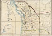
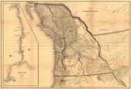
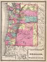
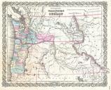
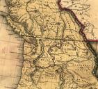
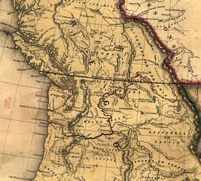
Oregon territory. From loc gov gmd ct It shows the th Parallel drawn through Vancouver Island as the boundary between US and British territory Old maps of Canada LOCmap ct PDold