
Related Images

Download:
| Tiny | 96x128 | View | Download |
| Small | 193x256 | View | Download |
| Medium | 386x512 | View | Download |
| Large | 773x1024 | View | Download |
| Original | 2643x3500 | View | Download |
This image was acquired from
wikimedia. It was marked as Public Domain or CC0 and is free to use. To verify, go to the source and check the information there.
Looking for more info about this image?
Try a Google Reverse Image Search for it.
Try a Google Reverse Image Search for it.
Keywords from Image Description:
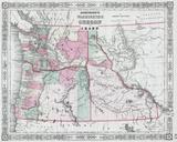
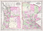
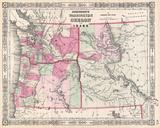
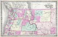
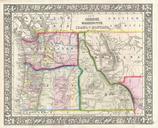
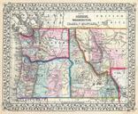
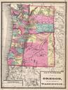
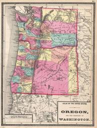
Walling Map of Washington and Oregon Geographicus WashingtonOregonwallinggray. This is Walling and Grey map of Washington and Oregon Shows both the state of Oregon and the territory of Washington in full with vivid hand coloring at the county level Show various American Indian Nation throughout undated Size in object history